In a major analysis of satellite records, scientists have uncovered significant changes in Greenland’s land cover over the past three decades. The study, conducted by a team from the University of Leeds and published in Scientific Reports, reveals a doubling of vegetation across the region alongside a substantial loss of ice.
According to the research, approximately 11,000 square miles (28,707 square kilometers) of Greenland’s ice sheet and glaciers have melted since the 1980s. This loss, equivalent to the size of Albania, represents about 1.6% of Greenland’s total ice and glacier cover. Areas once dominated by ice and snow now feature barren rock, wetlands, and shrubbery.
The lead author of the study, Dr. Michael Grimes, highlights the profound impact of warmer air temperatures on Greenland’s landscape. “Warmer temperatures are linked to the land cover changes that we are seeing on Greenland,” explains Jonathan Carrivick, an Earth scientist at Leeds University. “By analyzing high-resolution satellite images, we have been able to produce a detailed record of the land cover changes that are taking place.”
The loss of ice is not only transforming Greenland’s surface but also has broader implications. Permafrost, a layer of permanently frozen ground crucial for infrastructure and communities, is being degraded by rising temperatures. Scientists warn that this degradation could have significant consequences for the stability of the landscape and greenhouse gas emissions.
The study underscores the impact of global warming on the Arctic region, where temperatures have been rising at double the global mean rate since the 1970s. Average annual air temperatures on Greenland have increased by 3°C between 2007 and 2012 compared to the 1979-2000 average.
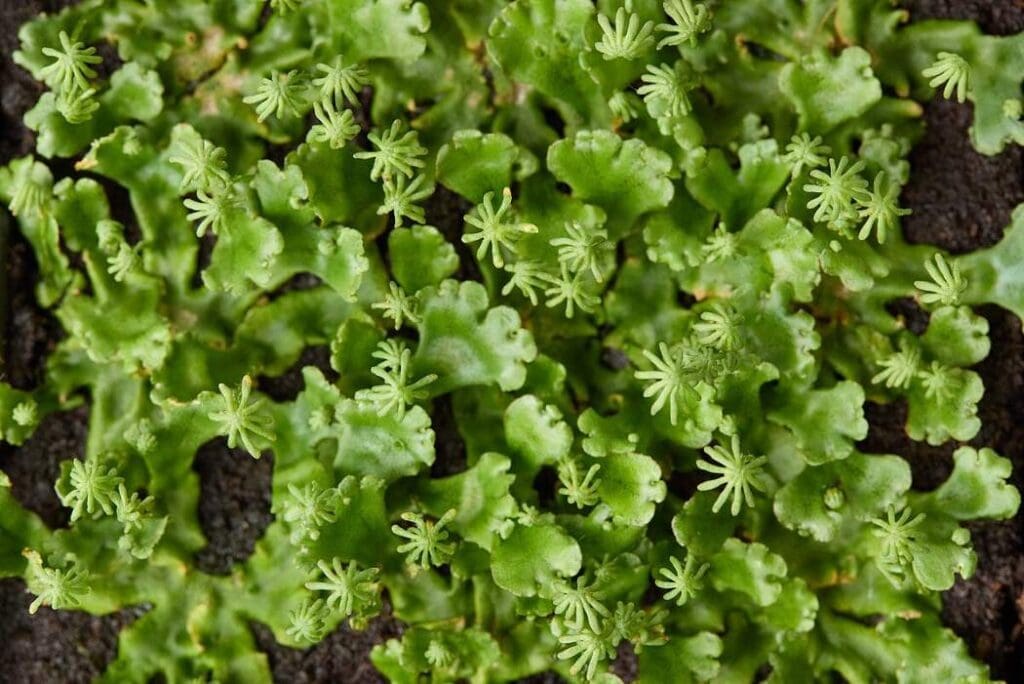
The expansion of vegetation is particularly pronounced in the south-west, east, and north-east regions of Greenland. This increase in plant life, coupled with the retreat of glaciers and ice sheets, alters sediment flow and nutrient distribution, affecting delicate ecosystems and traditional hunting practices of indigenous populations.
Furthermore, the loss of ice mass in Greenland contributes significantly to global sea-level rise, posing challenges for coastal communities worldwide.
As Greenland continues to undergo rapid changes, scientists emphasize the urgent need for further research and proactive measures to mitigate the impacts of climate change on this vulnerable region and its inhabitants.
(More information: Land cover changes across Greenland dominated by a doubling of vegetation in three decades, Scientific Reports (2024). DOI: 10.1038/s41598-024-52124-1. Featured image credit: By Allexxandar on Freepik)


