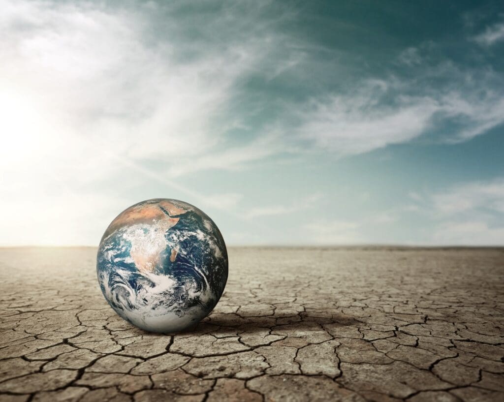
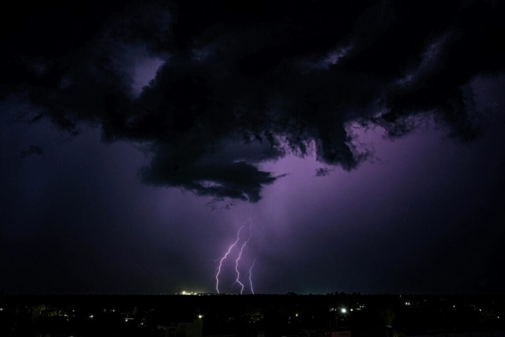
Helsinki, Finland (AFP) – A software model of Earth, meant to simulate and monitor environmental hazards while findings ways to mitigate climate change, began its monitoring and predictive mission on Monday, the EU Commission said.
The Destination Earth initiative resulted in a digital model of the planet to simulate natural phenomena by utilising an “unprecedented amount of data”, according to its website.
The model combines climate science with artificial intelligence powered by supercomputers including the LUMI computer located in the Finnish city Kajaani, where the inauguration ceremony took place.
“What we get today is the future in the making”, Margrethe Vestager, executive vice president of the European Commission, said at the event.
She cited the possibility for mayors to better prepare cities for extreme weather events and for EU institutions to implement the bloc’s Green Deal, meaning leaders “cannot escape their responsiblity of acting with the tools they get”.
“It will place climate data and predicting tools in the hands of many, many more people,” Vestager said.
Florence Rabier, head of the European Centre for Medium-Range Weather Forecasts, called Destination Earth “a game-changer”, not least because people would let people ask the model for responses to questions on climate change.
“Destination Earth can run bespoke scenarios… at unprecedented resolution and accuracy”, she said.
ank/jll/js
© Agence France-Presse
Featured image credit: rawpixel.com | Freepik