Study finds contaminated mining sites worsen risks from fires.
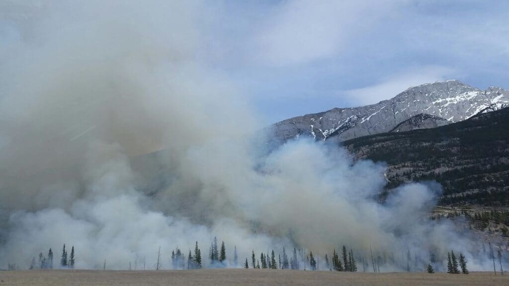
The wildfire season of 2023 was the most destructive ever recorded in Canada and a new study suggests the impact was unprecedented. It found that four of the year’s wildfires in mine-impacted areas around Yellowknife, Northwest Territories potentially contributed up to half of the arsenic that wildfires emit globally each year.
The work, led by researchers at the University of Waterloo and Nipissing University, is the first to calculate the amount of arsenic that was stored in areas at high risk of wildfires around Yellowknife. Looking at data from the past five decades, the team estimates the 2023 wildfires potentially released between 69 and 183 tonnes of arsenic.
Arsenic, a potent toxin, which the World Health Organization associates with diabetes, cardiovascular disease, various cancers, and infant mortality, can be transformed by wildfire and released into the environment from the soils that normally sequester it.
Given that the frequency and severity of wildfires is expected to increase because of climate change, the researchers caution that in any regions in the world where annual wildfires intersect with past or present mining and smelting operations, future fires could present a major risk for releasing stored toxins back into the environment.
“Yellowknife has a decades-long history of mining, which has led to an accumulation of arsenic in the surrounding landscape. However, Yellowknife is not unique in this regard, Canada has many industrially contaminated sites that are vulnerable to wildfire,” said Dr. Owen Sutton, a postdoctoral fellow in the Faculty of Environment at Waterloo.
The amount of arsenic released by wildfires depends on a multitude of factors, such as fire temperature, depth of the burn, and soil type, and the combination of these variables.
“While our research has raised the alarm on this issue, we will be the first to argue there is an urgent need for collaborative investigation by wildfire scientists, chemists, environmental scientists and policy experts,” said Dr. Colin McCarter, professor in the Department of Geography at Nipissing University and Canada Research Chair in Climate and Environmental Change. “By integrating diverse fire management techniques, including Indigenous fire stewardship, we can hopefully mitigate these emerging risks to human and environmental health.”
The researchers found that arsenic emissions from wetlands were the most concerning because of their tendency to store contaminants compared to forests. Moving forward, they will continue quantifying the amount of toxins being stored by northern peatlands and study the potential release of other metals from those landscapes.
Dr. James Waddington, from McMaster University, also contributed to the work. ‘Globally-significant arsenic release by wildfires in a mining-impacted boreal landscape’, appears in Environmental Research Letters.
More information: O.F. Sutton, C.P.R. McCarter and J.M. Waddington, ‘Globally-significant arsenic release by wildfires in a mining-impacted boreal landscape’, Environmental Research Letters (vol. 19; 2024); DOI: 10.1088/1748-9326/ad461a | UW Press Release/Material. Featured image credit: Freepik