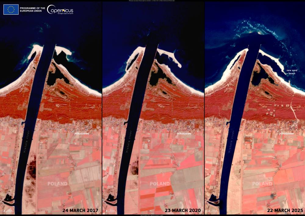
This image from the Copernicus Sentinel-3 satellite, captured on November 14, 2024, reveals a vast Saharan dust plume spanning over 700 kilometers across the Mediterranean Sea. The plume, emanating from Algeria, stretches northward to envelop the Spanish Balearic Islands, showcasing the immense reach of such atmospheric events.
The movement of Saharan dust is a significant meteorological phenomenon with diverse implications. Suspended particles carried across regions can create hazy skies, as seen in the image, and may influence local air quality.

The dust’s impact extends beyond human health, affecting visibility, transportation, and even ecosystems, as the nutrient-rich particles settle in distant lands or bodies of water.
Monitoring services like the Copernicus Atmosphere Monitoring Service (CAMS) play a critical role in tracking these plumes. CAMS provides detailed forecasts of air quality, offering essential data on the concentration and spread of atmospheric pollutants and aerosols.
This information is vital for public health advisories and understanding broader environmental effects. The Copernicus Health Hub complements these efforts by compiling data relevant to health, including insights into air quality dynamics influenced by such dust events.
Featured image credit: European Union, Copernicus Sentinel-3 imagery