Budapest, Hungary’s capital and largest city, is situated along the banks of the Danube River, dividing the city into Buda and Pest. The western side, Buda, is connected by numerous bridges to the eastern Pest.

Since 1934, Budapest has been known as the Spa City thanks to its rich heritage of thermal baths, which are supplied by more than 100 natural springs and drilled wells. These sources bring approximately 70 million litres of thermal water to the surface each day.

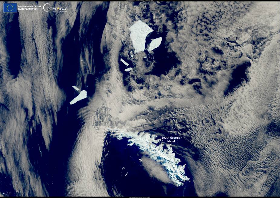
Budapest and the surrounding areas can be seen in this false colour image produced with the data acquired by one of the Copernicus Sentinel-2 satellites on 9 November 2024.

Copernicus Budapest res
Budapest. Credit: European Union, Copernicus Sentinel-2 imagery

In November 2024, Budapest will be the hub of the EU Space Programme for two days. 20 November marks the start of the EU Space Days, an event organised by the European Commission under the auspices of the Hungarian Presidency of the European Union.

The event will bring together policymakers, space industry players, and entrepreneurs from various sectors to exchange insights and experiences on how businesses, governments, and society at large can benefit from the EU Space Programme and its existing components such as Galileo, EGNOS, and Copernicus, as well as new components such as GOVSATCOM and IRIS2. The event will be live-streamed on social media. More information is available here.

Featured image: Budapest Credit: European Union, Copernicus Sentinel-2 imagery

Oil and natural gas development in Permian is a key source of ozone pollution in Carlsbad Caverns National ParkClimate

Oil and natural gas development in Permian is a key source of ozone pollution in Carlsbad Caverns National Park

By Colorado State University New research shows that ozone concentrations at Carlsbad Caverns National Park frequently exceed Environmental Protection Agency health standards, likely due to…
SourceSourceJuly 16, 2024 Full article
Satellite Image: Hurricane Melissa’s devastation mapped by Copernicus EMS, Jamaica
Image of the day: Hurricane Melissa’s devastation mapped by Copernicus EMSNews

Image of the day: Hurricane Melissa’s devastation mapped by Copernicus EMS

Hurricane Melissa, which developed over the central Caribbean Sea on 22 October 2025, tore across the region with unprecedented force. It made landfall in Jamaica…
Muser NewsDeskMuser NewsDeskNovember 4, 2025 Full article
Satellite Images: Glaciers of the Hoher Dachstein Massif (30 August 2015 - left; 1 September 2025 - right)
Image of the day: A decade of glacier loss on the Hoher Dachstein massifNews

Image of the day: A decade of glacier loss on the Hoher Dachstein massif

International Mountain Day offers a moment to reflect on the role that mountain regions play in sustaining life far beyond their summits. The retreating glaciers…
Muser NewsDeskMuser NewsDeskDecember 11, 2025 Full article