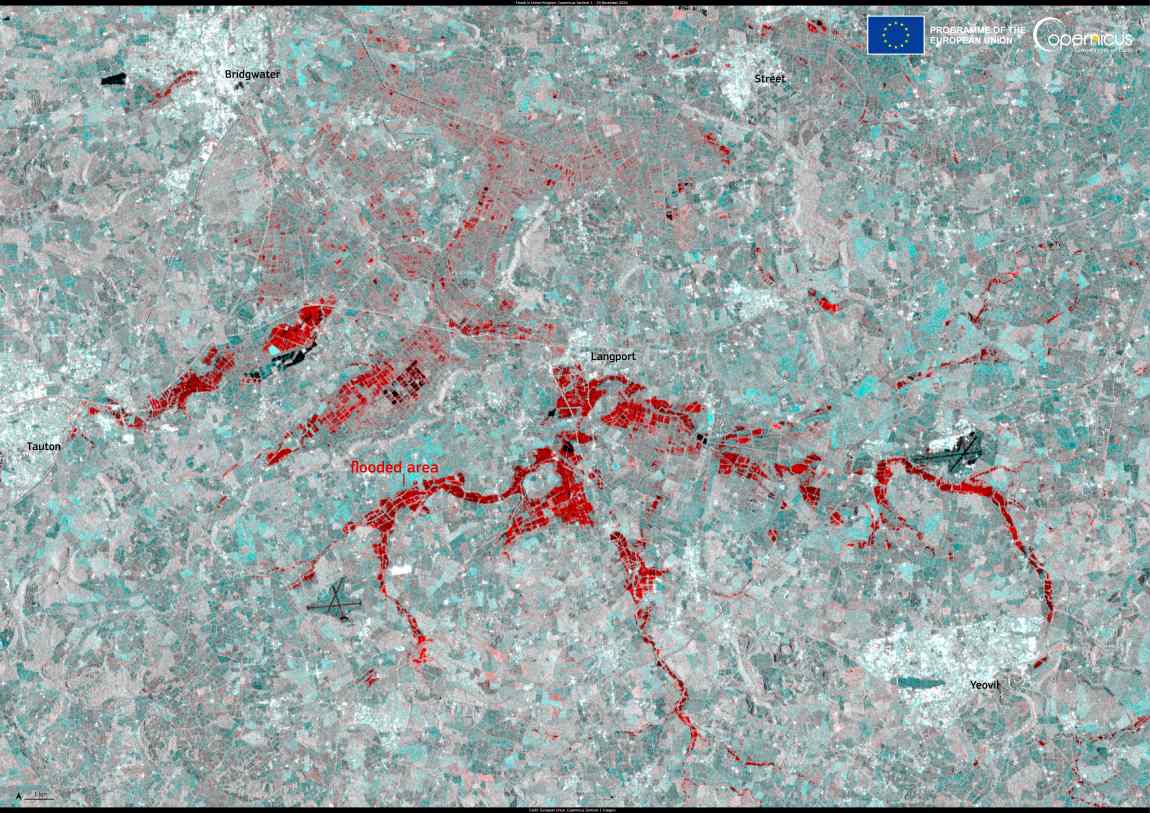
Parts of the United Kingdom have been affected by severe floods after Storm Bert made landfall on 22 November 2024, bringing over 100mm of rain to some areas.

On 24 November, authorities had issued over 100 flood alerts across the country as wind gusts reached over 120 km/h in coastal areas and 104 km/h inland. The storm has led to at least five casualties and caused power outages and disruptions to roads and railway lines.
Floods UK res
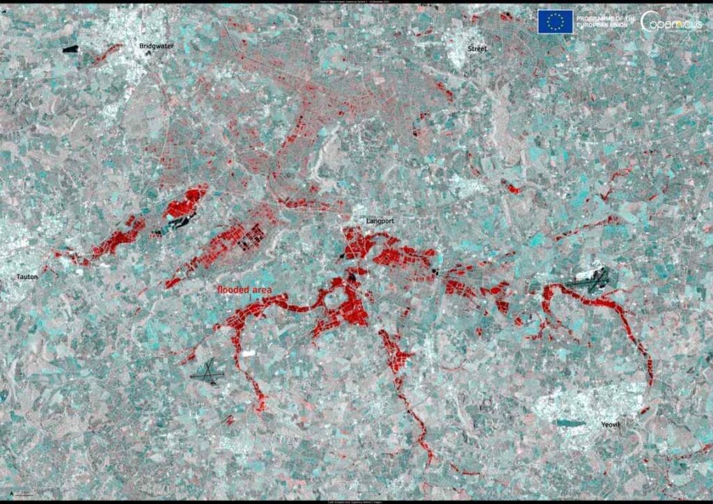
United Kingdom. Credit: European Union, Copernicus Sentinel-1 imagery

This Sentinel-1 image acquired on 24 November 2024 shows the flooded areas near the towns of Langport, Bridgwater, and Yeovil in England in red tones.

The Copernicus Sentinel satellites deliver key data for monitoring and delineating the extent of areas affected by floods, supporting local decision-making during emergencies.

Featured image credit: European Union, Copernicus Sentinel-1 imagery

Satellite Image: Grand Canyon, USA
Image of the day: Grand Canyon wildfire leaves visible markNews

Image of the day: Grand Canyon wildfire leaves visible mark

A destructive wildfire that swept through Grand Canyon National Park in Arizona earlier this month left a stark burn scar on the North Rim, now…
Muser NewsDeskMuser NewsDeskJuly 18, 2025 Full article
European airport pollution threatens health of 52 mn people: NGONews

European airport pollution threatens health of 52 mn people: NGO

Paris, France | AFP - High concentrations of tiny particles released when aviation jet fuel is burnt pose a health risk to 52 million people…
SourceSourceJune 25, 2024 Full article
Image: Baltimore, Harbor, Bay
Optimizing urban design to cut carbon emissions: the role of local climate zonesClimateNews

Optimizing urban design to cut carbon emissions: the role of local climate zones

As urban areas expand rapidly around the world, the need for climate-conscious planning has never been greater. New research suggests that optimizing city layouts to…
Adrian AlexandreAdrian AlexandreNovember 6, 2024 Full article