The Albufera Natural Park, a vital ecological haven near Valencia, Spain, is facing a critical challenge in the wake of severe floods that struck the region in late October 2024. Known for its remarkable biodiversity, this coastal wetland shelters over 372 bird species and endangered freshwater fish. However, the recent flooding has led to a sharp decline in water quality, raising alarms about the future of this fragile ecosystem.
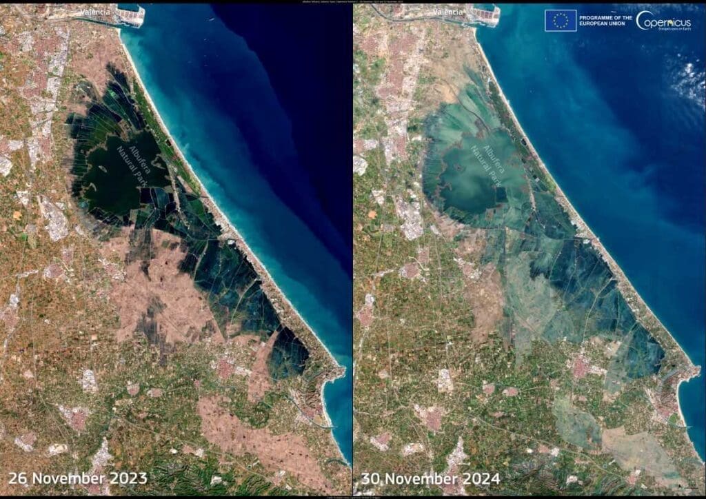
Satellite imagery from the European Space Agency’s Copernicus Sentinel-2 mission has captured the stark transformation of the Albufera lagoon.
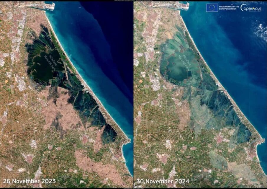
Comparing images from 26 November 2023 and 30 November 2024 reveals a dramatic shift in the lagoon’s appearance. The 2023 image shows the lagoon’s characteristic dark blue hue, indicative of relatively clean water. In contrast, the 2024 image depicts murky, lighter tones, evidence of sediment and pollutants introduced by the floodwaters.

These changes are not just visual. Sediments and contaminants carried by the floodwaters are likely to disrupt the delicate balance of the wetland’s ecosystem. This degradation threatens the habitat of numerous species and poses long-term risks to the park’s ecological health.
The open data provided by Copernicus Sentinel satellites has proven invaluable for tracking such impacts. Beyond aiding immediate disaster response, this technology plays a crucial role in monitoring the extended effects on ecosystems and communities. The ongoing analysis of these datasets offers critical insights for conservation efforts and policy decisions aimed at mitigating the long-term consequences of natural disasters.
As the Albufera Natural Park grapples with the aftermath of the floods, these observations show the importance of integrating satellite-based monitoring into environmental management strategies. Protecting this iconic wetland demands a concerted effort to address the challenges posed by climate-driven extreme weather events.
Featured image credit: European Union, Copernicus Sentinel-2 imagery


