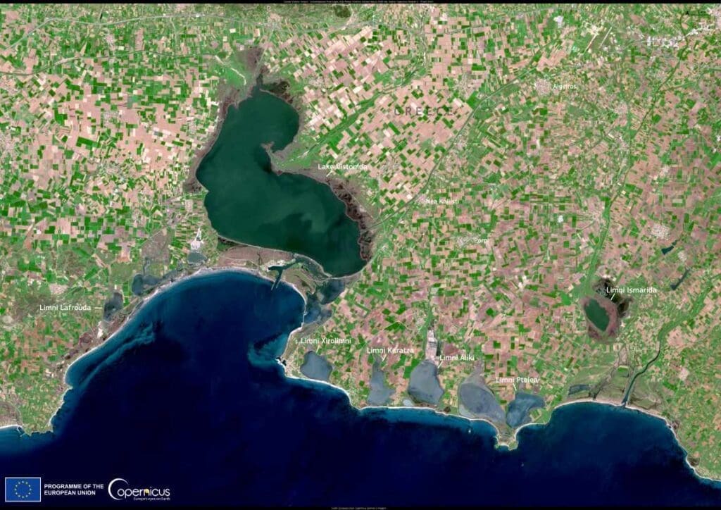
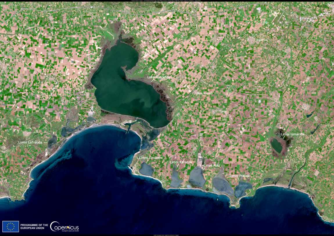
The wetlands of Limnes Vistonis and Ismaris in Greece form one of the country’s most ecologically significant landscapes. Spanning over 18,000 hectares, this vast Natura 2000 site supports a mosaic of habitats, including extensive reedbeds, Tamarix scrubs – some of the largest in Greece – salt marshes, sand dunes, and areas of cultivated farmland. These wetlands are a lifeline for 144 species of waterbirds and raptors, serving as breeding grounds, migratory stopovers, and wintering habitats.
This region’s importance lies not only in its biodiversity but also in its function as a migratory hub along major avian routes. It provides a safe haven for countless species, maintaining their populations amid global environmental pressures. The intricate ecosystems within the wetlands underline their role as a critical node in Greece’s network of protected sites.

The area’s ecological complexity and beauty are highlighted in this image, captured on October 26, 2024, by the Copernicus Sentinel-2 satellite.
Satellite data plays an integral role in conservation efforts. By mapping changes in land cover, detecting habitat degradation, and assessing biodiversity health, it helps researchers and policymakers craft strategies to safeguard these vital ecosystems. This ongoing observation ensures that areas like Limnes Vistonis continue to thrive despite the challenges posed by climate change and human activities.
The wetlands of Limnes Vistonis and Ismaris not only demonstrate the richness of Greece’s natural heritage but also highlight the role of advanced technology in preserving such treasures for generations to come.
Featured image credit: European Union, Copernicus Sentinel-2 imagery


