Satellites orbiting Earth provide an unparalleled vantage point to address global challenges, from monitoring climate change to aiding humanitarian efforts.
Researchers at ETH Zurich are leveraging this technology in diverse ways, including assessing war damage, tracking forest health, and mapping snow cover.
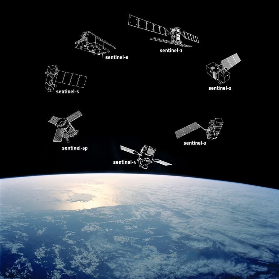
European Space Agency (ESA) satellites, operating 700 kilometers above the surface, use radar signals to generate detailed images of the planet. “Satellites fly over the country (n.e. Ukraine) every couple of days, which gives us a kind of slow-motion video,” explains Konrad Schindler, head of ETH Zurich’s Institute of Geodesy and Photogrammetry.

Machine learning systems trained with reference data provided by the United Nations Satellite Centre (UNOSAT) help ETH researchers detect changes such as the destruction of buildings, assisting organizations like the International Committee of the Red Cross (ICRC) in identifying areas of urgent need.
Beyond conflict zones, ETH researchers employ satellite data to tackle humanitarian challenges. One collaboration with the ICRC involved creating population density maps for regions lacking reliable census data, guiding relief operations and vaccination campaigns. In Switzerland, a system developed in partnership with the start-up ExoLabs generates daily maps of snow depth, a resource poised for commercial deployment.
Satellite data also enables the global mapping of tree heights, a project using laser scanning technology aboard the International Space Station.
“The global mapping of canopy heights also provides interesting information on the age of the vegetation,” says Verena Griess, Professor of Forest Resources Management and head of the Institute of Terrestrial Ecosystems at ETH Zurich. Her team is setting up an early-warning system to detect forest distress caused by pests, drought, and other climate-driven factors. By analyzing hyperspectral satellite imagery, researchers aim to pinpoint early signs of tree health decline, identify biodiversity hotspots, and determine areas suitable for timber harvesting or conservation.
ETH’s efforts extend into the polar regions, where satellites measure ice sheet mass in Greenland and Antarctica. This technology reveals the alarming scale of ice melt — hundreds of gigatons annually — and its contribution to rising sea levels. “Satellite observation is the best way of tracking the impact that climate change is having on the Antarctic and Greenland ice sheets,” says Benedikt Soja, Professor of Space Geodesy at ETH Zurich.
ETH researchers are also innovating with GPS technology. For example, low-cost receivers at weather stations measure water vapor levels in the atmosphere to improve rain forecasts and study long-term climate trends.
This repurposed navigation technology can even estimate tree biomass, a novel application with implications for forest management.
From documenting war damage to monitoring Earth’s vital systems, ETH Zurich’s satellite-driven research demonstrates the power of space technology to illuminate and address pressing global challenges.
About
Verena Griess is Professor of Forest Resources Management in the Department of Environmental Systems Science at ETH Zurich.
Konrad Schindler is Professor of Photogrammetry and Remote Sensing in the Department of Civil, Environmental and Geomatic Engineering at ETH Zurich.
Benedikt Soja is Professor of Space Geodesy in the Department of Civil, Environmental and Geomatic Engineering at ETH Zurich. This professorship was funded by the Dr. Alfred and Flora Spälti Fonds.
The European Space Agency (ESA) is Europe’s gateway to space. Its mission is to shape the development of Europe’s space capability and ensure that investment in space continues to deliver benefits to the citizens of Europe and the world.
Copernicus is the Earth Observation component of the European Union’s space programme, looking at our planet and its environment for the benefit of Europe’s citizens.
ETH Zurich is one of the world’s leading universities for science and technology, renowned for its cutting-edge research, innovative solutions, and commitment to addressing global challenges. Located in Switzerland, ETH fosters excellence in education, advancing fields such as engineering, natural sciences, and sustainability.
Article Source:
Press Release/Material by Barbara Vonarburg | ETH Zurich (The original article appeared in 24/04 issue of ETH magazine Globe)
Featured image: Copernicus Sentinel Expansion missions. Credit: Image by ©ESA


