A powerful winter storm swept across the United States from January 4 to 6, 2025, leaving widespread impacts across the Midwest, Northeast, and even southern states. Seven states declared emergencies as heavy snowfall, sleet, and freezing rain disrupted travel, forced school closures, and caused at least five fatalities.
Missouri and Kansas were among the hardest-hit areas. In Kansas City, Missouri, dangerous road conditions resulted in hundreds of crashes, while historic snowfall in parts of Kansas created additional hazards. Nearly 9,000 flights were delayed or canceled nationwide, stranding passengers and compounding the storm’s disruption. Power outages left approximately 190,000 residents in the dark, as freezing rain and high winds downed power lines.
The storm’s ripple effects extended beyond the Midwest. Eastern states, including Kentucky, Virginia, and West Virginia, faced icy conditions that led to state-wide emergencies. Local governments prepared for treacherous roads and potential flooding from melting snow, underscoring the storm’s prolonged impact on infrastructure and safety.

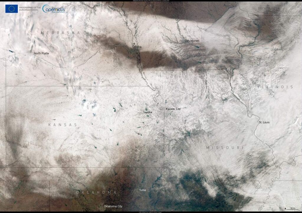
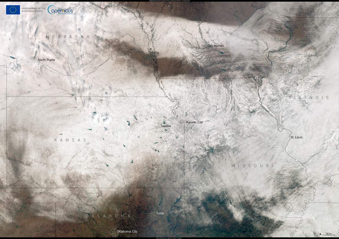
This Copernicus Sentinel-3 satellite image, captured on January 6, reveals a vast blanket of snow covering Kansas, Missouri, Illinois, Iowa, and Nebraska. The striking image highlights the storm’s extensive reach, which brought both beauty and peril to affected regions.
In the agricultural heartland, the storm posed challenges for farmers. Snowdrifts and extreme cold endangered livestock, particularly in Kansas, where young animals struggled to survive the harsh conditions. Meanwhile, southern regions unaccustomed to such severe weather faced additional burdens, as freezing rain coated roadways and homes, creating unsafe conditions.
The storm also brought economic repercussions. Airlines scrambled to waive change fees for thousands of travelers impacted by delays, while energy markets experienced volatility as demand for heating surged. In key shale-gas regions, freezing temperatures threatened production, temporarily driving up natural gas prices.
While storms of this magnitude disrupt lives and livelihoods, they also remind us of the critical role of scientific observation in disaster preparedness and response. By capturing events like these in striking detail, satellite imagery not only serves as a visual testament to the power of nature but also as a tool for understanding and mitigating its impacts.
Satellite data from the Copernicus Sentinel program offers critical insights during extreme weather events. By providing real-time monitoring of environmental conditions, such open data supports emergency responders and policymakers in assessing damage and coordinating relief efforts. The information captured by satellites like Sentinel-3 is crucial for planning and executing recovery strategies to help affected communities rebuild safely.
Featured image credit: European Union, Copernicus Sentinel-3 imagery


