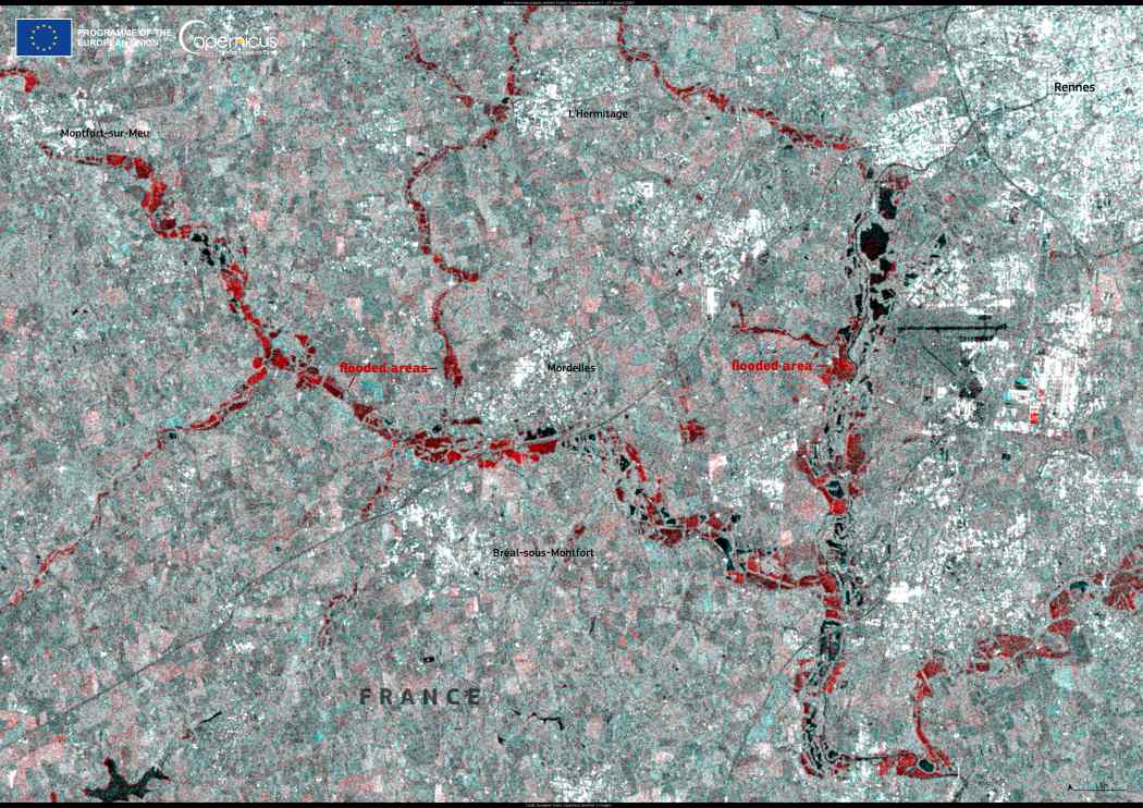
Storm Herminia brought devastating floods to western France on January 27, 2025, as heavy rainfall and strong winds battered the regions of Normandy and Brittany. The national meteorological service issued warnings for flash floods as rivers overflowed, prompting evacuations and emergency measures. In Rennes, authorities relocated approximately 400 residents as the city faced its worst flooding in over four decades.
The European Space Agency’s (ESA) Copernicus Sentinel-1 satellite has been instrumental in tracking the extent of the flooding. Using advanced radar technology, Sentinel-1 provides continuous, all-weather imaging of Earth’s surface, offering critical data to assess flood damage and guide response efforts. The mission, part of the Copernicus program, enables rapid monitoring of environmental disasters, assisting emergency teams in mapping affected areas.

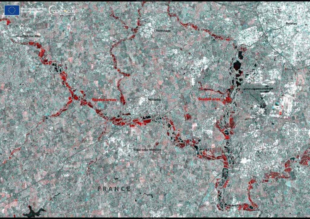
This image, obtained using the radar data of Copernicus Sentinel-1, shows the flooded areas south and east of Rennes on 27 January 2025.
Sentinel-1’s radar imaging capability allows it to capture high-resolution images even through cloud cover and heavy rainfall, making it particularly valuable for flood assessment. The satellite data has been used by the Copernicus Emergency Management Service to create flood extent maps, helping local authorities plan evacuations, infrastructure repairs, and resource allocation.
In recent years, climate change has increased the frequency and intensity of extreme weather events, including storms like Herminia. Scientists and policymakers rely on satellite observations to track long-term trends and improve disaster preparedness.
Featured image credit: European Union, Copernicus Sentinel-1 imagery


