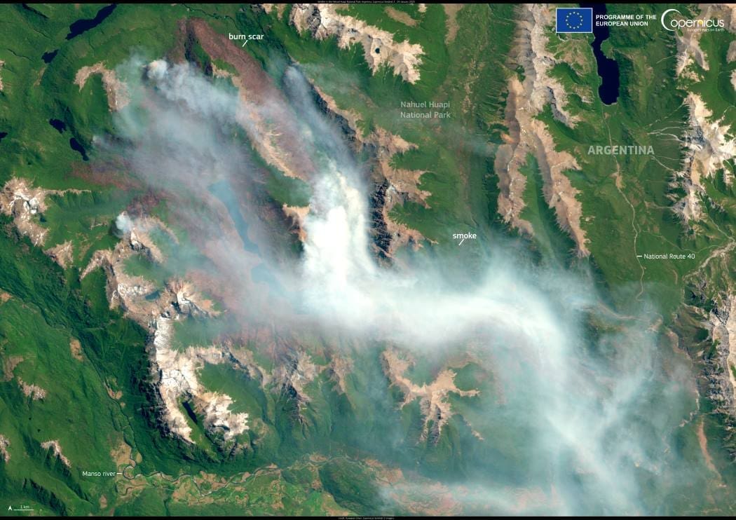
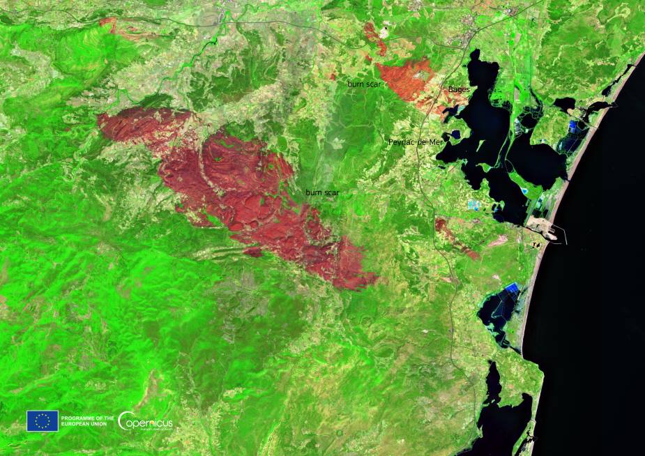
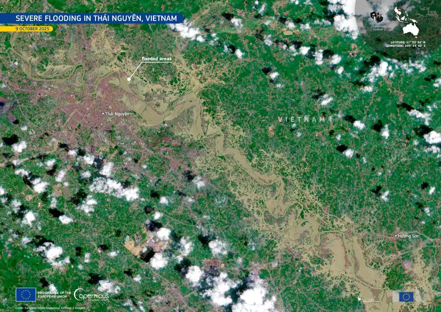
A wildfire that ignited on December 25, 2024, in Argentina’s Nahuel Huapi National Park has burned over 6,900 hectares of land. The fire, sparked by a thunderstorm, continues to challenge firefighters working to contain the flames. Authorities issued a caution on January 26, 2025, warning drivers in the area about reduced visibility due to smoke.

Nahuel Huapi National Park, the oldest and second-largest national park in Argentina, spans 2,750 square miles of diverse landscapes, from shimmering lakes to dense forests of red-barked arrayan trees. Popular among hikers and skiers, the park attracts visitors year-round with its extensive trail networks and winter sports opportunities.
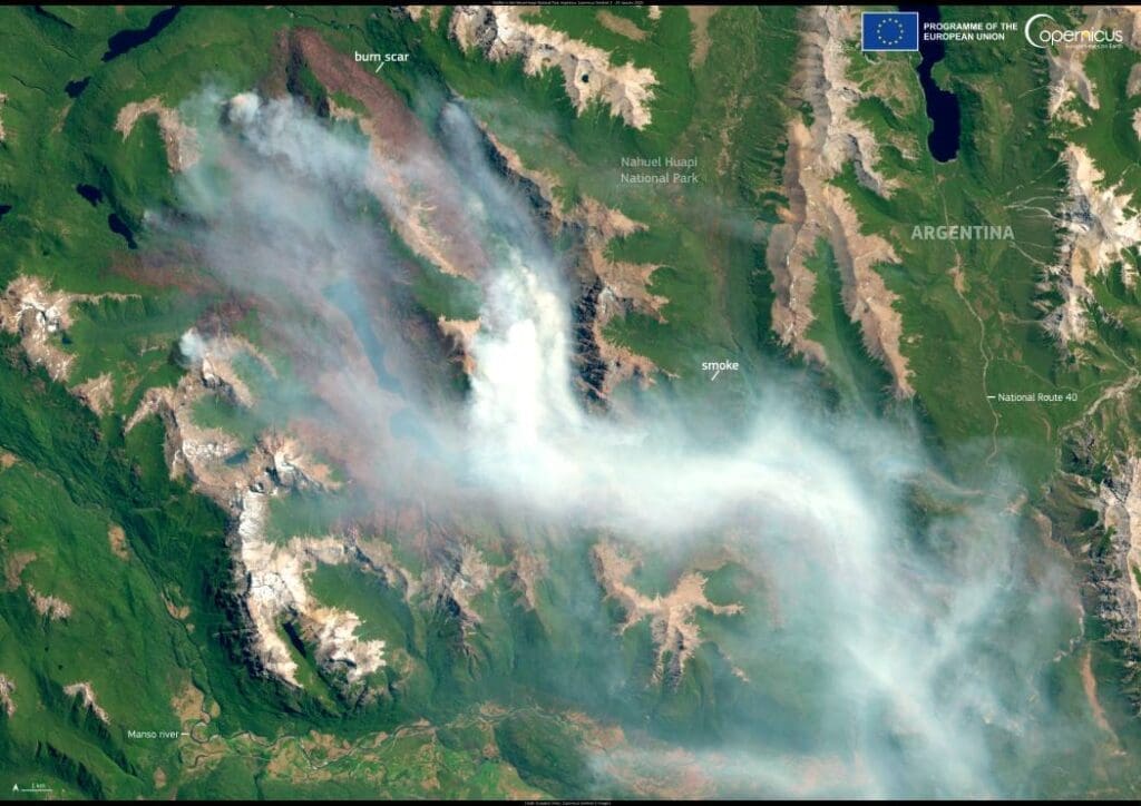
Satellite image: Wildfire in the Nahuel Huapi National Park, Argentina
The Nahuel Huapi National Park, Argentina. Credit: European Union, Copernicus Sentinel-2 imagery

A satellite image captured by Copernicus Sentinel-2 on January 29, 2025, reveals the burn scar left by the fire and the lingering smoke. Open data from Copernicus Sentinel satellites plays a vital role in monitoring wildfires worldwide, helping assess their environmental and societal impacts.

Featured image credit: European Union, Copernicus Sentinel-2 imagery

Image: Bird's eye photography of building structures
Cool roofs are best at beating cities’ heatClimate

Cool roofs are best at beating cities’ heat

By University College London Painting roofs white or covering them with a reflective coating would be more effective at cooling cities like London than vegetation-covered…
SourceSourceJuly 5, 2024 Full article
Image: glass of water
Targeted Home Systems to Remove PFAS More Cost-Effective Than System-Wide SolutionsScience

Targeted Home Systems to Remove PFAS More Cost-Effective Than System-Wide Solutions

By University of New Hampshire PFAS, the potentially cancer-causing chemicals known as ‘forever chemicals’, have become an increasing concern in home drinking water. Solutions to…
SourceSourceJuly 12, 2024 Full article
Satellite Image: Falsterbonäset peninsula, Sweden
Image of the day: Sweden’s Falsterbonäset peninsula from aboveNews

Image of the day: Sweden’s Falsterbonäset peninsula from above

At the southwestern edge of Sweden, the Falsterbonäset peninsula stretches into the sea like a narrow, windswept finger, bordered by the Öresund Strait to the…
Muser NewsDeskMuser NewsDeskMay 25, 2025 Full article