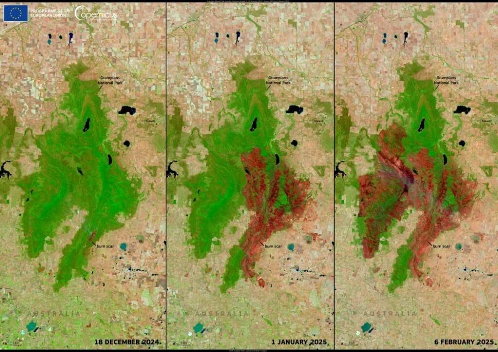
Grampians National Park, a renowned nature reserve in Victoria, Australia, has been ravaged by a series of bushfires since December 2024, leaving widespread destruction in their wake. Known for its waterfalls, diverse wildlife, and rich Aboriginal heritage, the park has seen vast areas reduced to ash as fires continue to burn.
The first major fire, the Yarram Gap fire, was ignited by lightning on 17 December, devastating the eastern side of the park. By the time it was contained on 6 January 2025, it had consumed one-third of the park’s total area. However, the crisis did not end there. Fresh outbreaks in the western part of the park have kept emergency crews on high alert, with nearly 600 firefighters still engaged in containment efforts as of 5 February.

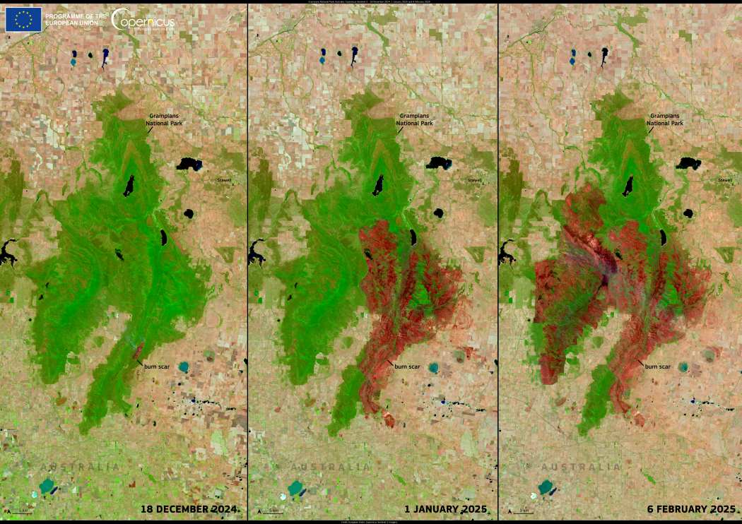
The images captured by the Copernicus Sentinel-2 satellite on 18 December 2024, 1 January 2025, and 6 February 2025 provide a stark visual record of the fire’s relentless spread. The progression of burn scars, clearly visible in the later images, illustrates the extent of destruction over time. These satellite observations are crucial for tracking fire movement, assessing damage, and supporting emergency response teams in their efforts to manage the disaster.
As fires continue to pose a threat, the ability to monitor their impact from space is vital for planning recovery efforts and mitigating future risks. The open-access data from Copernicus Sentinel satellites plays a critical role in wildfire management, helping authorities understand the scale of destruction and coordinate resources effectively.
Featured image credit: European Union, Copernicus Sentinel-2 imagery


