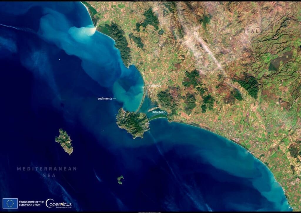
A powerful storm swept through central Italy on February 13, 2025, bringing torrential rain, floods, and landslides, particularly affecting the island of Elba and parts of Tuscany. The storm caused significant disruption, with the province of Grosseto among the hardest hit. Between the towns of Orbetello and Albinia, floodwaters submerged roads, isolating homes and prompting emergency responders to assist residents trapped in their houses and clear debris.
According to Italian authorities, the extreme weather led to evacuations in several areas, with rivers swelling beyond their banks and infrastructure damage reported across the region. Firefighters and civil protection teams worked to restore access to affected communities, while local governments urged caution as the risk of additional landslides remained high.

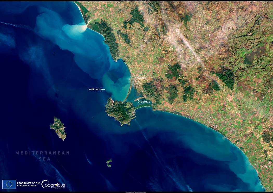
The impact of the storm is visible in this Copernicus Sentinel-2 image, captured on February 16, 2025. The satellite image shows sediment-laden waters along the coasts of Tuscany and Lazio, where rivers carried large amounts of debris into the Mediterranean. The discoloration of the sea reflects the scale of runoff from the flooded terrain, illustrating how severe weather events reshape landscapes in real time.
Satellite data from the Copernicus program plays a crucial role in flood monitoring and disaster response worldwide. By providing open-access imagery, Copernicus allows scientists, emergency services, and policymakers to track flood progression, assess damage, and plan mitigation strategies for affected communities and ecosystems.
Featured image credit: European Union, Copernicus Sentinel-2 imagery


