The Plitvice Lakes National Park, located in central Croatia, is the country’s oldest and largest national park, covering nearly 300 square kilometers. Renowned for its cascading lakes and tufa formations, the park was designated a UNESCO World Heritage site in 1979. Despite their fame, the lakes occupy less than 1% of the park’s total area, with the rest consisting of dense forests and grasslands that support diverse wildlife, including bears, roe deer, and numerous bird species.
The park is situated between the Mala Kapela mountain range to the west and northwest and the Lička Plješivica mountain range to the southeast. It extends across two counties: Lika-Senj (90.7%) and Karlovac (9.3%). The area was officially declared Croatia’s first national park on April 8, 1949. The process of tufa formation, which creates the park’s distinctive travertine barriers and waterfalls, was a key factor in its recognition as a UNESCO World Heritage site. The park’s boundaries were expanded in 1997, bringing it to its current size of just under 300 square kilometers.

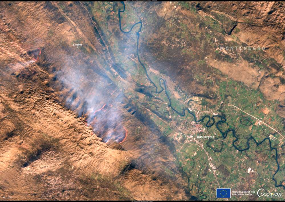
This image, captured by the Copernicus Sentinel-2 satellite on 26 October 2024, shows the park’s intricate waterways and surrounding forests from space.
The park’s exceptional natural beauty has drawn visitors for decades, with its turquoise waters, waterfalls, and karst formations creating a striking landscape. Walking trails and wooden footbridges allow visitors to explore the lakes and surrounding forests, offering a close look at this ever-changing environment shaped by water and geological processes.
The Copernicus program provides free and open data for monitoring ecosystems worldwide, supporting efforts to protect their unique landscapes and wildlife.
Featured image credit: European Union, Copernicus Sentinel-2 imagery