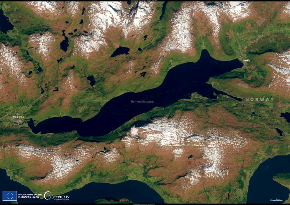
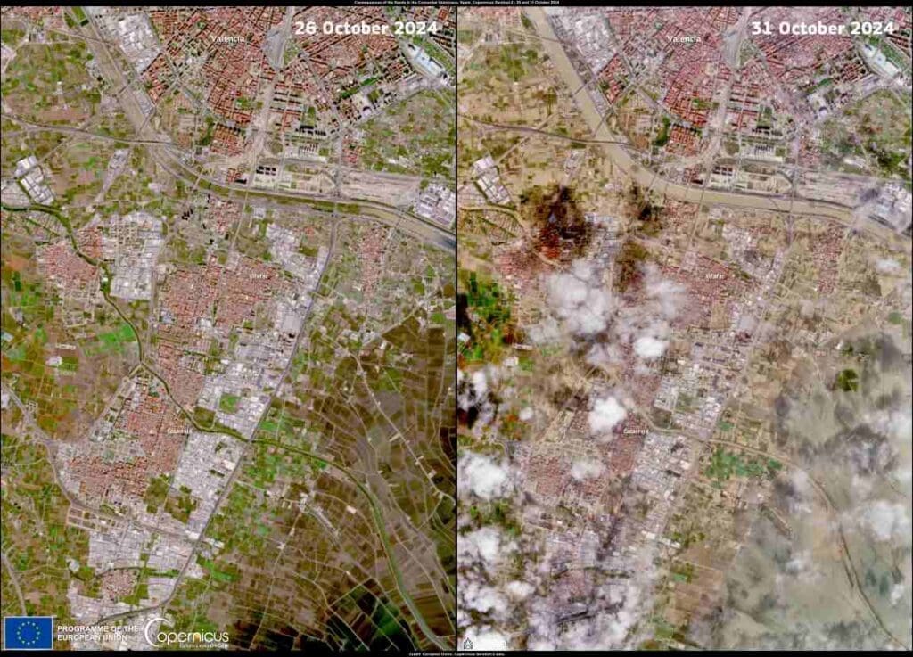
Hornindalsvatnet, located in western Norway, is Europe’s deepest lake, plunging to a depth of 514 meters. Unlike many other Norwegian lakes, it is not fed by glacial rivers, resulting in exceptionally clear water. Nestled among steep valleys and rugged mountains, the lake was carved out during the last ice age. A natural sediment dam prevented it from becoming a saltwater extension of the Nordfjord, shaping its present form.

This image, captured by one of the Copernicus Sentinel-2 satellites on 25 May 2024, highlights the lake’s elongated shape, stretching between the villages of Grodås and Mogrenda.
Hornindalsvatnet lies in Vestland county, near the border with Møre og Romsdal, and is Norway’s 19th largest lake by surface area. Its waters, primarily fed by snowmelt, are exceptionally pure and remain cold year-round. The lake’s main outflow, the Eidselva River, drains into Eidsfjorden, a branch of Nordfjorden. Other notable lakes in the region include Breimsvatnet, Lovatnet, Oldevatnet, Strynevatnet, and Sandalsvatnet.
A scenic tourist highway runs alongside the lake, connecting Nordfjord and Stryn, with the European Route E39 passing nearby. Several settlements dot its shores, including Grodås in the east, Mogrenda in the west, and Heggjabygda in the north, home to the historic Heggjabygda Church. Though the lake is a popular attraction, it remains relatively undeveloped, preserving its natural beauty. A few hotels and caravan camps are available along the southern shore, with Grodås offering the most tourist amenities.
While Hornindalsvatnet is not a major swimming or watersports destination, visitors can rent rowboats and canoes, and ferry rides connect Grodås to remote lakeside communities. Fishing is limited in the lake itself, but the Eidselva River is well-known for salmon and trout fishing. Fly fishing is particularly rewarding in its still pools, and permits can be purchased locally.
Outdoor enthusiasts can explore hiking and cycling trails on Mount Hornindalsrokken, as well as horseback riding on the distinctive fjord horse breed. Nearby, the Jostedal Glacier National Park features Norway’s largest mainland ski resort and a glacier museum documenting the retreat of three glaciers.
With its striking landscape, rich history, and outdoor activities, Hornindalsvatnet remains a unique and captivating destination in Norway.
Copernicus provides free and open data to monitor water quality, seasonal changes, and environmental conditions in remote freshwater ecosystems.
Featured image credit: European Union, Copernicus Sentinel-2 imagery


