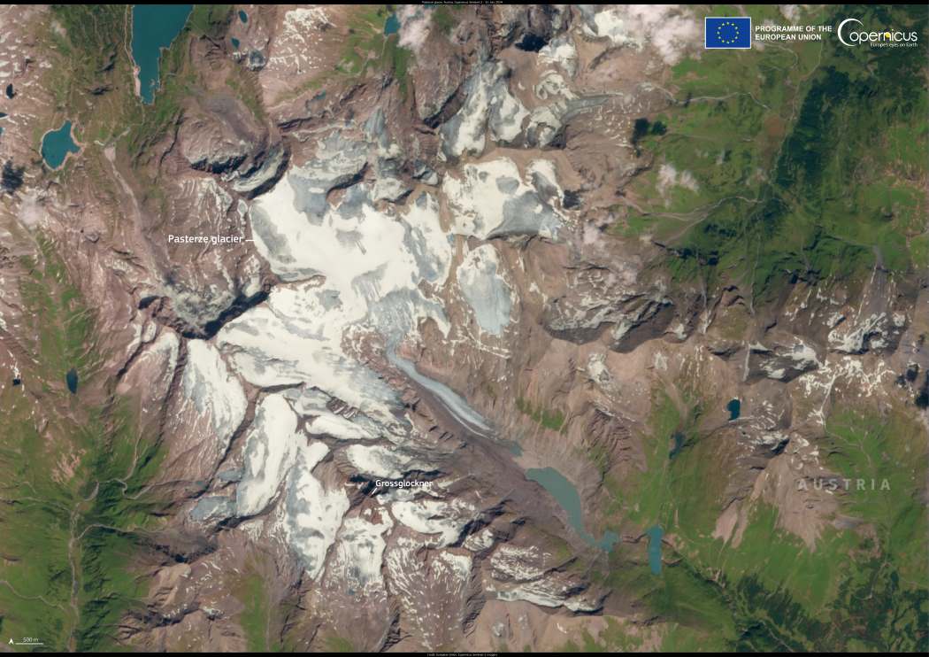
Located on the northern side of the Grossglockner, Austria’s highest peak, the Pasterze Glacier is the longest glacier in the country and the Eastern Alps. Stretching across approximately 16 square kilometers, it is a striking natural landmark within the Hohe Tauern mountain range, drawing visitors eager to witness its dramatic ice formations and rugged alpine scenery.
The glacier also plays a vital role in the local water system, supplying rivers and ecosystems. However, like many glaciers worldwide, the Pasterze Glacier has been shrinking in recent decades due to rising temperatures.
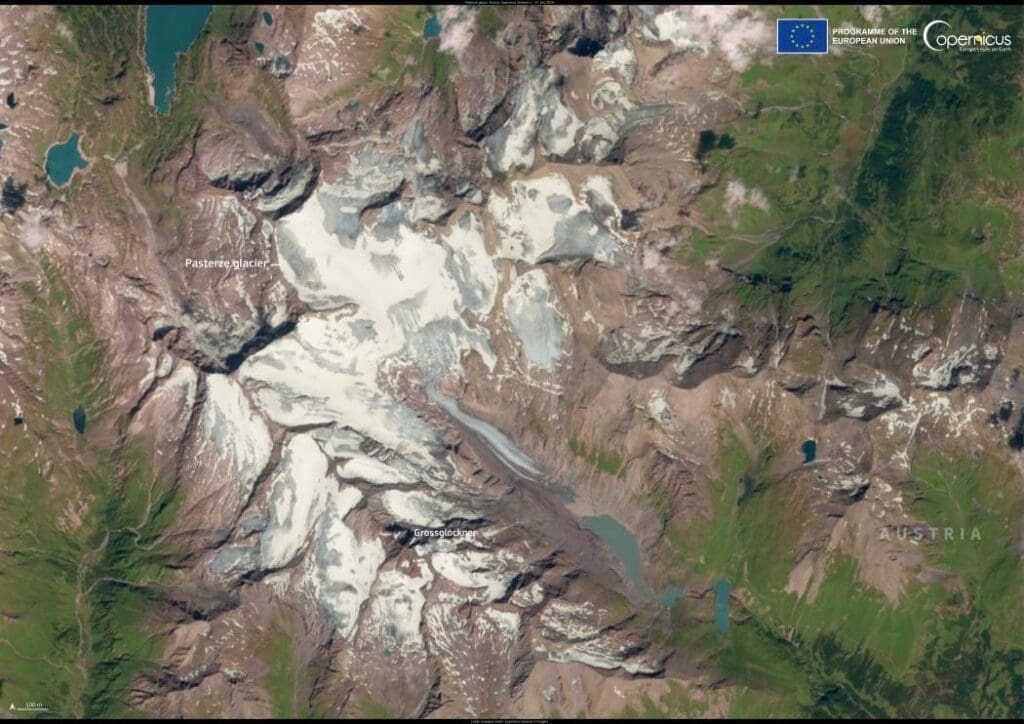
This image, captured by the Copernicus Sentinel-2 satellite on 31 July 2024, offers a detailed view of the glacier’s extent from above.
Glaciologists have been tracking changes in the Pasterze Glacier since 1879, noting significant losses over time. Between 2006 and 2016, its glacier tongue receded by approximately 40 meters annually. The Eastern Alps have experienced repeated cycles of glacial expansion and contraction, with evidence of ancient forests that once thrived in areas now covered by ice. Thousand-year-old stone pine trunks discovered near the glacier suggest that trees grew there over 10,000 years ago.
The Copernicus Sentinel satellites provide crucial data for monitoring glaciers worldwide, helping scientists assess ice loss, changes in thickness, and shifts in movement patterns.
Featured image credit: European Union, Copernicus Sentinel-2 imagery

