Washington, United States | AFP
Commercial activities that damage sea floors are disrupting the oceans’ natural carbon capture capacity, with more research needed on their impact on carbon dioxide absorption, according to a new study Friday.
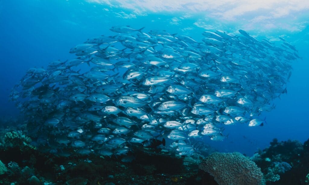
Scientists estimate around 30 percent of the carbon dioxide (CO2) released by humans is absorbed by the oceans, playing a crucial role in climate regulation and reducing the rate of global warming.

“There’s a lot of attention now to marine carbon dioxide removal,” said Sebastiaan van de Velde, the lead author of the study published in the journal Science Advances, in an interview with AFP.
“But we’re not asking the question, ‘What are we doing already that’s maybe not helping or reducing the oceans’ capacity to absorb CO2?'” he continued.
To research this, his team created models to simulate the impacts of bottom trawling and dredging — two commercial activities that disrupt the seabed — on the oceans’ CO2 absorption.
The analyses found multiple ways in which the practices reduce the alkalinity of the water, limiting the amount of carbon dioxide that can be absorbed.
The study estimated such activities reduce the amount of absorption between two and eight million tonnes (2.2 to 8.8 million tons) of CO2 annually.
Though the amount is relatively small compared to the total CO2 absorbed by oceans, it shows human activity contributes to reducing their “carbon sink” efficiency, the study found.
Van de Velde said the study also shows that by “managing our current economic activities a little bit better,” we could “make quite easy gains in terms of CO2 uptake.”
cha/eml/jgc/acb
© Agence France-Presse
Journal Reference:
Sebastiaan J. van de Velde, , Astrid Hylén, and Filip J. R. Meysman, ‘Ocean alkalinity destruction by anthropogenic seafloor disturbances generates a hidden CO2 emission’, Science Advances 11, eadp9112 (2025). DOI: 10.1126/sciadv.adp91
Article Source:
Press Release/Material by AFP
Featured image credit: Romello Williams | Unsplash