Perched at an altitude of 3,454 meters, Jungfraujoch is Europe’s highest railway station and a popular observation point in the Swiss Alps. Situated between the towering Jungfrau and Mönch peaks, it offers sweeping views of glaciers and rugged mountain landscapes.

Visitors reach the station via a cogwheel train that climbs from Kleine Scheidegg through tunnels carved into the mountains — a remarkable engineering achievement completed in 1912. The station remains a key tourist destination, drawing travelers eager to experience the high-altitude panorama.

Satellite Image: Jungfraujoch railway station, Swiss Alps
Swiss Alps. Credit: European Union, Copernicus Sentinel-2 imagery

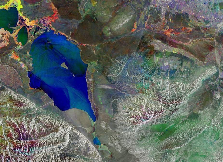
This Copernicus Sentinel-2 image, acquired on 11 August 2024, captures the station and a portion of the Aletsch Glacier, the longest glacier in the Alps and a UNESCO World Heritage Site.

Copernicus satellite data plays a crucial role in tracking glacier dynamics, equipping scientists and policymakers with valuable insights into the long-term environmental changes affecting Europe’s mountain regions.

Featured image credit: European Union, Copernicus Sentinel-2 imagery

Graphic news (s. climate, science, research, scientists. emission targets, floods, environment)
Bodies found in flood-hit Spain: regional leaderNews

Bodies found in flood-hit Spain: regional leader

Madrid, Spain | AFP - Several bodies have been recovered by emergency service workers in flood-hit parts of Spain's Valencia, the head of the regional…
SourceSourceOctober 30, 2024 Full article
Image: The ocean under blue sky
Much of the Nord Stream gas remained in the seaScience

Much of the Nord Stream gas remained in the sea

By University of Gothenburg Much of the methane released into the southern Baltic Sea from the Nord Stream gas pipeline has remained in the water.…
SourceSourceJune 19, 2024 Full article
Satellite image: Herschel Island (Qikiqtaruk), Canada
Image of the day: Shifting Arctic shores along Canada’s Yukon coastNews

Image of the day: Shifting Arctic shores along Canada’s Yukon coast

This image, captured by a Copernicus Sentinel-2 satellite on 2 September 2024, highlights the dynamic Arctic coastline of Canada’s Yukon territory, where the Beaufort Sea…
Muser NewsDeskMuser NewsDeskMarch 9, 2025 Full article