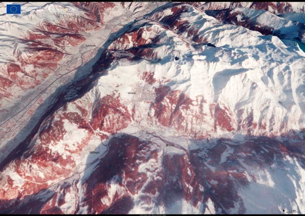
Puntarenas, Costa Rica stretches along a slim finger of land jutting into the Pacific, clearly visible in this Copernicus Sentinel-2 image captured on 20 March 2025. Surrounded by ocean on both sides, the city’s geography makes it especially exposed to climate-driven sea level rise.

According to the World Bank, if sea levels were to rise by just one metre, up to 90% of the dry land in Puntarenas could be submerged. Floodwaters could extend as far as 500 metres inland, overwhelming both infrastructure and natural defenses. The city’s mangrove forests, which appear dark green in the satellite image, are key to buffering the coastline from erosion and storm surges. But they too face mounting stress from shifting tidal dynamics and saline intrusion.
The Copernicus Sentinel satellites help monitor the condition of mangroves and other coastal features across the globe. Their data supports long-term efforts to understand and manage risks in vulnerable areas like Puntarenas, where rising seas and changing ecosystems are already reshaping the landscape.
Featured image credit: European Union, Copernicus Sentinel-2 imagery


