Severe flooding has once again devastated Brazil’s southern state of Rio Grande do Sul, with extensive rainfall since mid-June 2025 pushing rivers far beyond their normal bounds. Among the worst affected is the Jacuí River valley, where the water level in Cachoeira do Sul climbed above 26 meters – far surpassing its usual level of 18 meters.
As of this week, the state’s Civil Defense agency has confirmed five deaths, with more than 10,000 people forced to evacuate their homes. Flooding has been reported in 155 municipalities, inundating rural areas and towns alike. The Copernicus Sentinel-1 satellite captured a striking image on 23 June 2025 showing submerged lands along the Jacuí River, revealing the scale of the disaster.

These floods arrive just one year after Rio Grande do Sul experienced the most damaging floods in its history, highlighting the region’s growing vulnerability to climate-driven weather extremes. In 2024, torrential rains displaced over 600,000 people and damaged more than 80% of the municipalities in the state. The city of Canoas was especially hard hit during that event, with its urban areas submerged for weeks.
This year’s floods, though not yet as widespread, reflect a disturbing trend. The recurrence of such intense rainfall events raises concern among scientists and emergency planners. “It’s like you’re still recovering from a train crash and another one hits you,” said Governor Eduardo Leite in 2024, following that year’s record disaster. While the 2025 flood has not yet reached that magnitude, local officials have warned that saturated soils and rising river levels continue to pose serious risks in the weeks ahead.
The image acquired by the Sentinel-1 satellite is part of a broader effort by the European Union’s Copernicus program to track environmental hazards in near real-time. This open-source data plays a vital role in helping authorities monitor flood conditions, assess damage, and plan emergency responses. As climate volatility increases, reliable satellite monitoring has become an essential tool for governments facing more frequent and intense natural disasters.
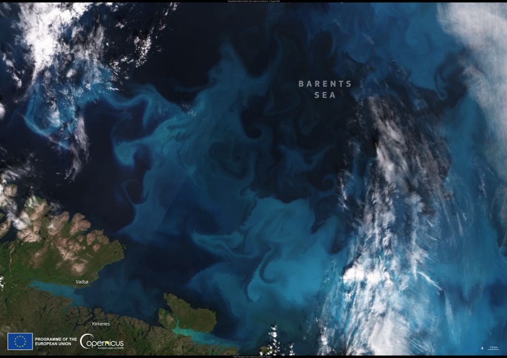
Featured image credit: European Union, Copernicus Sentinel-1 imagery