Stretching more than 2,500 kilometres from the Himalayas to the Bay of Bengal, the Ganges River anchors one of the world’s most densely inhabited and culturally significant regions. Its waters sustain vast agricultural plains, major cities, and millions of people who rely on the river for drinking water, farming, transport, spiritual practices, and economic activity.
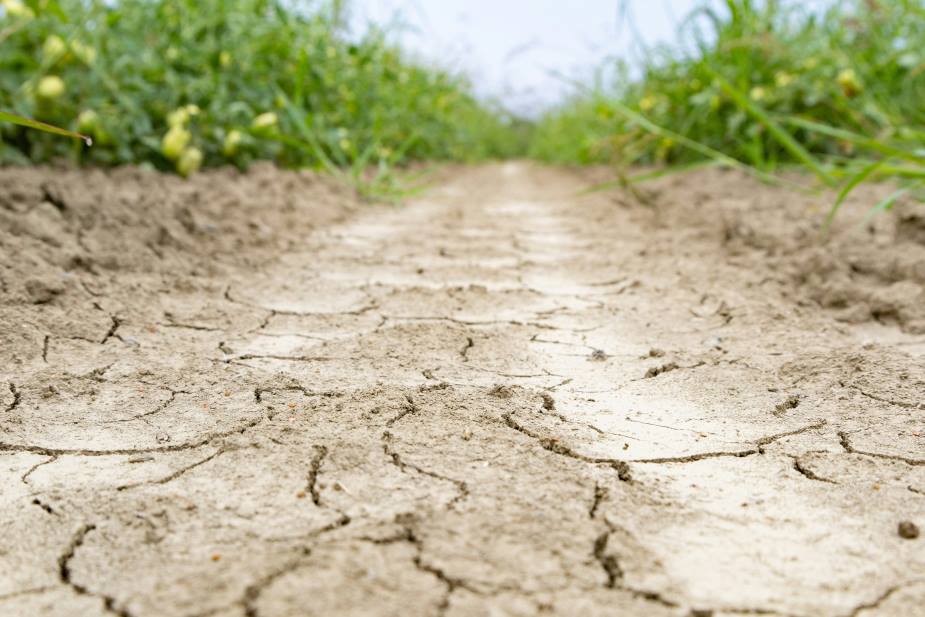
Across India, the Ganges shapes daily life, yet it is also at the centre of growing hydrological concern. Recent scientific work reconstructing streamflow over the past 1,300 years shows that the basin experienced an exceptional drying period between 1991 and 2020. Researchers describe this prolonged drought as unmatched in the past millennium, finding that the decline in streamflow since the early 1990s has been 76% more intense than the major 16th-century drought. These trends raise significant questions for water security, agriculture, and long-term planning in a region where hundreds of millions depend on the river’s seasonal rhythms.

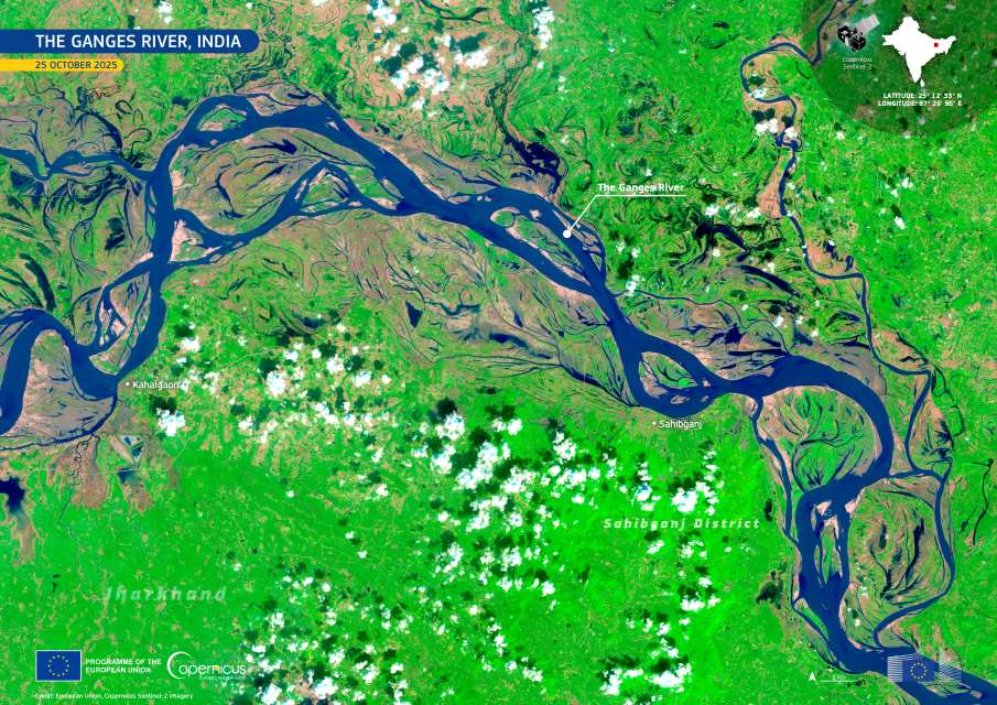
This image, acquired by one of the Copernicus Sentinel-2 satellites on 25 October 2025, captures a meandering stretch of the Ganges River in the district of Sahibganj in Jharkhand. The river forms a braided pattern shaped by shifting channels, sediment-laden flows, and the wide floodplains that support surrounding agricultural land.
Scientists are increasingly examining how climate change may influence the Ganges basin’s future. Research highlights the complexity of monsoon behaviour and the interactions among large-scale climate patterns, natural variability, and human-driven factors. While several climate models project increased streamflow under warming scenarios, the recent decline suggests that current models may not fully capture the processes controlling monsoon precipitation. Improving these systems is considered essential for anticipating water availability and preparing effective adaptation strategies across the basin.
Copernicus data play an important role in monitoring these changes. By providing regular, high-resolution observations, the programme helps researchers and policymakers track hydrological trends, assess drought impacts, and support sustainable water management in one of the world’s most vital river systems.
Featured image credit: European Union, Copernicus Sentinel-2 imagery


