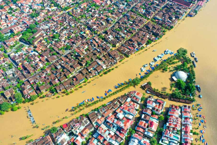
Many coastal flood risk assessments around the world may be starting from sea levels that are too low, according to research published in Nature that reviewed hundreds of scientific studies on coastal hazards and suggests the gap could mean millions more people are at risk from future flooding than previously estimated.
The study, by researchers at Wageningen University & Research (WUR), reviewed 385 peer-reviewed studies on coastal exposure and hazard impacts published between 2009 and 2025. It found that more than 90% relied on assumed sea levels based on gravitational models known as geoids rather than measured coastal sea levels.
Sea levels in many studies are set too low
According to the authors, this methodological choice has led many studies to underestimate coastal sea-level height by 0.24 to 0.27 m on average globally, depending on the geoid model used.
The problem, the researchers say, is that these gravity-based models do not capture all the factors that shape local sea level. While geoids account for gravity and Earth’s rotation, they do not include influences such as tides, currents and winds, which can affect how high the sea sits relative to the land along a coastline.
Writing on the WUR website, the authors explain that this has created a mismatch between assumed sea level and actual measured coastal water levels in many hazard assessments.

In some regions, the difference is far larger
The study says the discrepancies are especially strong in parts of the Global South, notably Southeast Asia and the Pacific region. Underestimates were also found in Latin America, the west coast of North America, the Caribbean, Africa, the Middle East and the Indo-Pacific.
In some areas, the authors say, coastal sea levels may be up to 1 m higher than previously assumed. In extreme individual cases, the difference between assumed and measured coastal sea level reached 5.5 to 7.6 m, depending on the geoid model used.
Those larger values do not reflect a global average. They describe local discrepancies that can arise when global gravitational reference models are used in places where actual coastal water levels differ sharply from those assumptions.
What this means for flood risk
Using meta-analyses of the assumptions found in the published literature, the researchers recalculated the implications of a hypothetical 1 m sea-level rise.
They found that, compared with previous estimates, this could put up to 37% more land below sea level and affect 77 million to 132 million more people worldwide.
The findings suggest that some existing coastal risk assessments may have underestimated how much land is already close to sea level and how many people could be exposed as oceans continue to rise.
A correction to methodology, not a new rise in the oceans
The paper does not say that the oceans are suddenly rising faster than scientists thought. Instead, it argues that many studies have used the wrong reference point when comparing sea level with coastal elevation.
That matters because sea-level rise is already a major long-term threat. The Intergovernmental Panel on Climate Change (IPCC) has estimated that global mean sea level could rise by 0.28 to 1 m by 2100, depending on emissions and warming scenarios. The new study suggests that the impact of that rise on coastal areas may in many cases have been assessed from a starting point that is too low.
Call for reassessment
The authors conclude that existing methodologies for assessing the impacts of sea-level rise should be re-evaluated so that future coastal hazard assessments correctly combine sea-level measurements with coastal elevation data.
They say this could have implications for policymaking, climate finance and coastal adaptation plans, as governments and communities prepare for higher flood risks in the coming decades.
Journal Reference:
Seeger, K., Minderhoud, P.S.J., ‘Sea level much higher than assumed in most coastal hazard assessments’, Nature (2026). DOI: 10.1038/s41586-026-10196-1
Article Source:
Press Release/Material by Wageningen University & Research (WUR) & Springer Nature
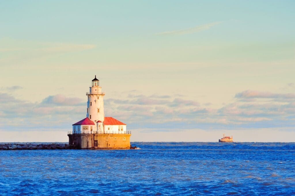
Featured image credit: Lâm Trần | Pexels