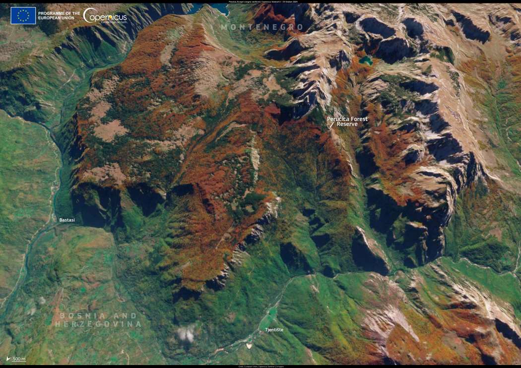
Nestled within Bosnia and Herzegovina’s Sutjeska National Park, Perućica is one of Europe’s last remaining primeval rainforests. This untouched expanse, near the border with Montenegro, spans deep valleys and rugged mountain slopes, sheltering a rich diversity of life. Some of its beech, fir, and spruce trees have stood for over 300 years, forming a dense canopy that supports numerous rare and endemic species.
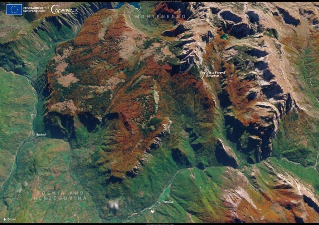
Sattelite image:  Perućica rainforest, Bosnia and Herzegovina, Europe
Perućica rainforest, Bosnia and Herzegovina. Credit: European Union, Copernicus Sentinel-2 imagery

This 3D rendering of a satellite image, acquired by Copernicus Sentinel-2 on 15 October 2024, captures Perućica’s striking autumn colors in contrast to the surrounding mountainous landscape. As a UNESCO-listed site, the forest is a key area for ecological preservation, offering scientists a rare glimpse into an ecosystem largely undisturbed by human activity.

Through high-resolution Earth observation, Copernicus provides vital data for monitoring the health of forests like Perućica, tracking biodiversity changes, and assessing the impacts of climate change. This information is essential for conservation efforts, helping to safeguard one of Europe’s most ancient woodlands from habitat degradation.

Featured image credit: European Union, Copernicus Sentinel-2 imagery

Satellite image: Orbetello, Italy (s flooding)
Image of the day: Storm damage and flooding in central ItalyNews

Image of the day: Storm damage and flooding in central Italy

A powerful storm swept through central Italy on February 13, 2025, bringing torrential rain, floods, and landslides, particularly affecting the island of Elba and parts…
Muser NewsDeskMuser NewsDeskFebruary 18, 2025 Full article
Satellite Image: Algal blooms, North Sea, Denmark
Image of the day: Algae spiral across the North SeaNews

Image of the day: Algae spiral across the North Sea

Swirls of green stretch across the waters off Denmark’s western coast in this Copernicus Sentinel-2 satellite image, captured on 30 June 2025. The scene shows…
Muser NewsDeskMuser NewsDeskJuly 12, 2025 Full article
Satellite images: Expanding bushfire destruction in Grampians National Park, Australia
Image of the day: Bushfire destruction in Grampians National Park, AustraliaNews

Image of the day: Bushfire destruction in Grampians National Park, Australia

Grampians National Park, a renowned nature reserve in Victoria, Australia, has been ravaged by a series of bushfires since December 2024, leaving widespread destruction in…
Muser NewsDeskMuser NewsDeskFebruary 10, 2025 Full article