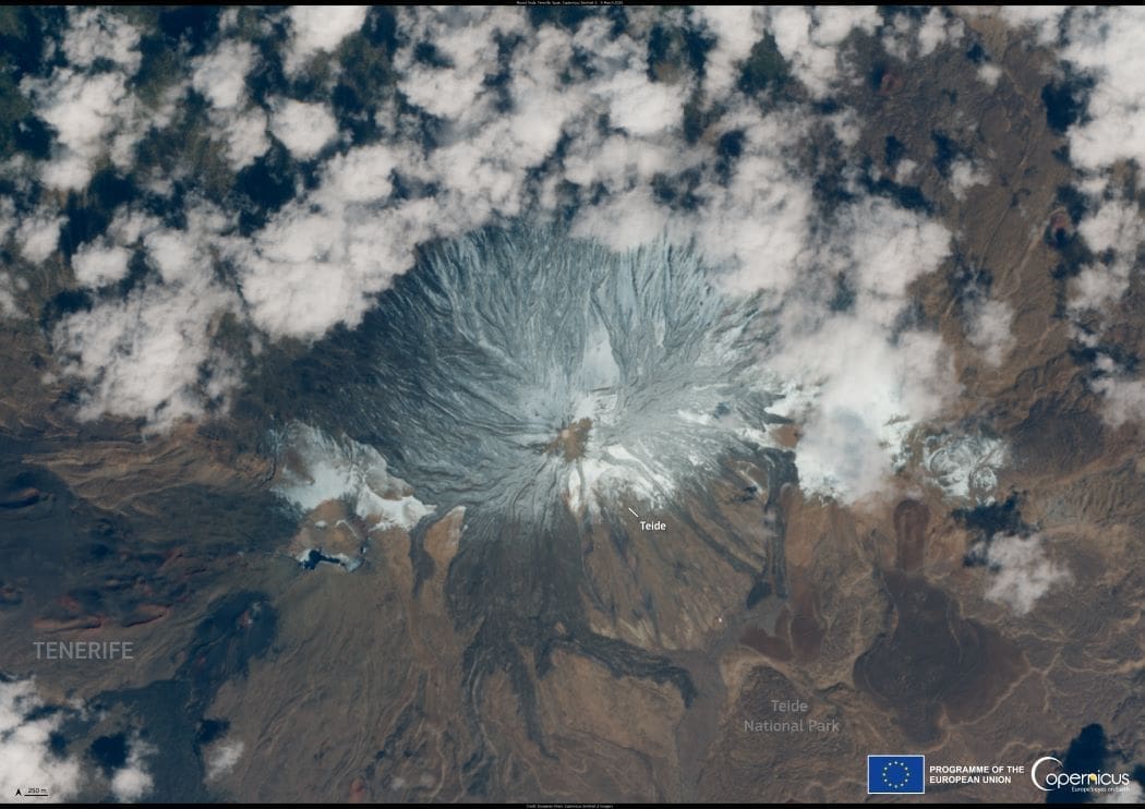
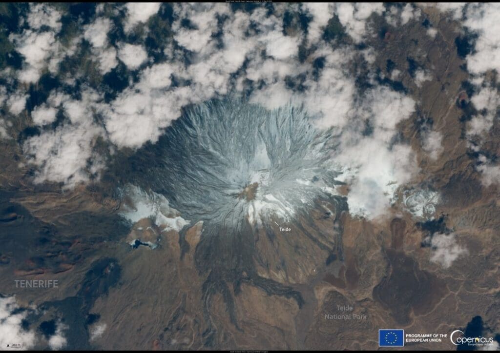
This satellite image, captured by Copernicus Sentinel-2 on 5 March 2025, reveals Mount Teide, the highest peak in Spain, blanketed in fresh snow. Located on Tenerife in the Canary Islands, the volcano’s typically arid slopes have been transformed by recent winter conditions.
Satellite image: Canary Islands, Spain (s. snow, volcano)
Canary Islands, Spain. Credit: European Union, Copernicus Sentinel-2 imagery

Snowfall began on 2 March 2025 following a storm system known as an upper-level isolated depression (DANA), which brought heavy rain and freezing temperatures to the region. Authorities closed access roads to the volcano due to ice hazards and urged caution for those traveling to higher elevations. Emergency measures were put in place to ensure public safety, as local officials advised residents to check weather conditions before venturing into the mountains.

Copernicus Sentinel-2 satellites provide open-access data to monitor snow coverage worldwide, helping communities stay informed and prepared for extreme weather events.

Featured image credit: European Union, Copernicus Sentinel-2 imagery

Skyscrapers are seen amidst high air pollution levels in Bangkok
Bangkok air pollution forces 352 schools to closeNews

Bangkok air pollution forces 352 schools to close

Bangkok, Thailand | AFP Air pollution in the Thai capital forced the closure of more than 350 schools on Friday, city authorities said, the highest…
SourceSourceJanuary 24, 2025 Full article
Satellite Image: Greece
Image of the day: Greek chestnut harvest affected by extreme weather conditionsNews

Image of the day: Greek chestnut harvest affected by extreme weather conditions

In the Greek village of Kissos, chestnuts trees have been affected by months of extreme heat and drought following the country’s warmest winter and summer…
SourceSourceNovember 12, 2024 Full article
Satellite Image: Cobourg Peninsula, Australia
Image of the day: Mangroves of Cobourg PeninsulaNews

Image of the day: Mangroves of Cobourg Peninsula

The mangrove forests of northern Australia take center stage in this satellite image, released to mark the International Day for the Conservation of the Mangrove…
Muser NewsDeskMuser NewsDeskJuly 27, 2025 Full article