Mont Idoukal-n-Taghès, standing 2,022 metres above sea level, is the highest peak in Niger and a striking landmark of the Aïr Massif in the country’s arid north. Rising from the southern Sahara, the massif is a landscape of ancient volcanic origins, where steep ridges, deep valleys, and isolated oases shape one of Africa’s most remarkable mountain regions.
The Aïr Mountains cover about 84,000 square kilometres, forming a distinctive geological ring dike structure created by ancient magma intrusions. These formations, dating back to the Precambrian era, emerged when magma filled circular fractures in the Earth’s crust, later uplifted by tectonic movement. Their rugged relief stands in stark contrast to the surrounding Ténéré Desert’s endless plains.
At the heart of this landscape, Mont Idoukal-n-Taghès (also known as Mont Bagzane) dominates the Bagzane plateau. The village of Abatol lies at its base, while the Aouderas valley channels seasonal flows south toward Agadez, the regional capital. The peak’s elevation creates a unique microclimate that sustains Saharan-Mediterranean and tropical plant species not found elsewhere in Niger. This ecological richness makes the mountain and its surroundings a crucial refuge for biodiversity.

This natural-colour image, captured on 8 September 2025 by one of the Copernicus Sentinel-2 satellites, shows Mont Idoukal-n-Taghès and its surroundings in northern Niger. The area, recognised as a UNESCO Biosphere Reserve, is part of the wider Aïr and Ténéré Natural Reserve, designated as a UNESCO World Heritage Site in 1991 and listed as endangered the following year.
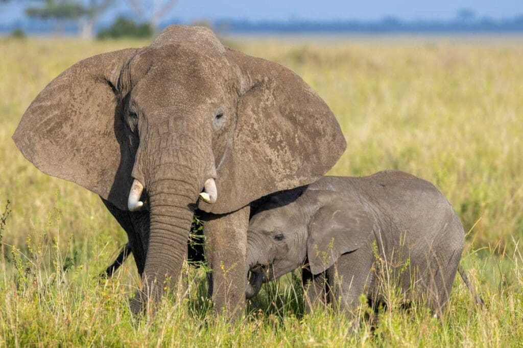
Compared to the barren desert that surrounds it, the Aïr region supports vegetation, wildlife, and human life that have vanished elsewhere in the Sahara and Sahel. The mountain habitat shelters threatened antelope species, fennec and Rüppell’s foxes, and even cheetahs. Seasonal streams provide water for farming and grazing, while ancient rock carvings, some dating back 8,000 years, testify to the area’s long human presence.
Through satellite observation, the Copernicus programme continues to monitor this fragile ecosystem, providing essential data to track environmental change and support conservation in one of Earth’s most remote desert landscapes.
Featured image credit: European Union, Copernicus Sentinel-2 imagery