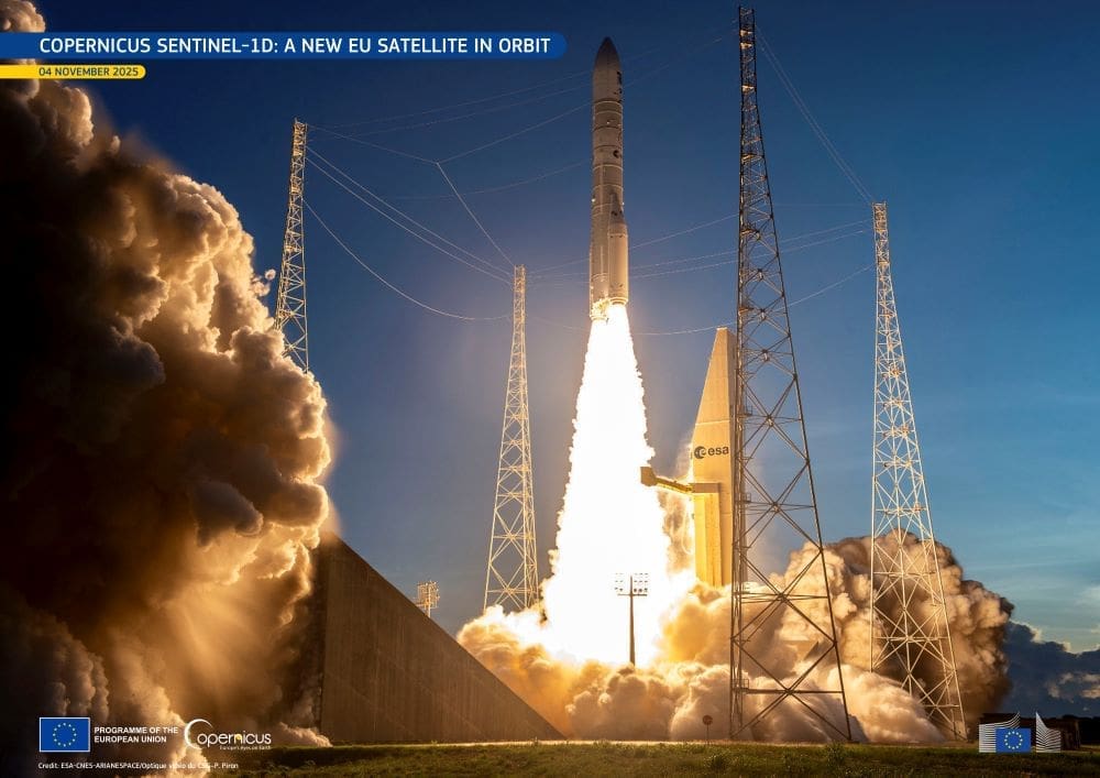
Copernicus Sentinel-1D was launched into orbit on 4 November 2025 at 22:02 CET (21:02 UTC) aboard an Ariane 6 rocket from the European Spaceport in Kourou, French Guiana. The satellite separated from the launcher 34 minutes later, and its first signal was received at 23:22 CET by the Troll ground station in Antarctica. Its arrival in orbit marks a major step for the EU Space Programme and completes the first generation of Sentinel-1 radar satellites.
Sentinel-1D joins Sentinel-1C, launched in December 2024, to secure the continuity of Copernicus radar observations well into the 2030s. Together, the two satellites maintain the mission’s six-day revisit cycle, providing all-weather, day-and-night imaging of the Earth’s surface. Each satellite operates in a sun-synchronous orbit at an altitude of around 700 kilometres, retracing its ground track every 12 days. Because the radar captures data on both ascending and descending passes, it achieves revisit times of roughly three days at the equator, two days over Europe, and less than one day in the Arctic.
At the heart of Sentinel-1D is the C-band Synthetic Aperture Radar (C-SAR) instrument, operating at 5.405 GHz. It offers several imaging modes – from fine-resolution Strip Map (5 × 5 m, 80 km swath) to wide-coverage Extra Wide Swath (20 × 40 m, 400 km swath) – enabling applications ranging from flood monitoring to sea ice tracking. Both Sentinel-1C and 1D also carry an Automatic Identification System (AIS) payload, which detects ship signals to help track maritime traffic and detect unauthorised activities at sea. Their Galileo-enabled receivers ensure precise in-orbit positioning and autonomous operation if GPS signals become unavailable.

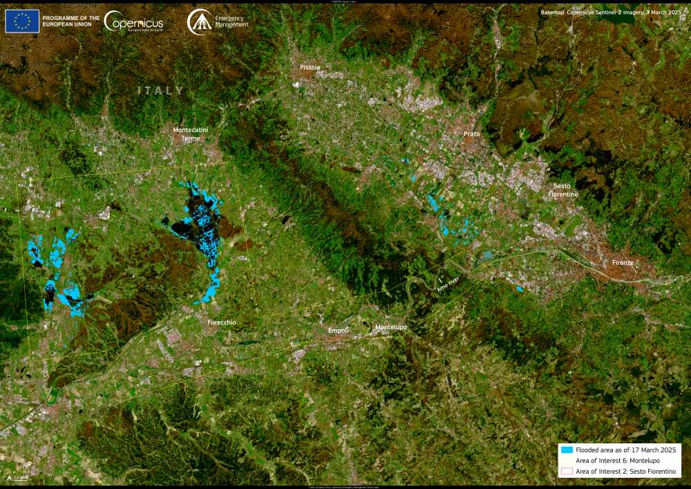
Since the first Sentinel-1A launch in 2014, the radar mission has become a cornerstone of Copernicus, providing continuous data for emergency management, maritime safety, land monitoring, and ground motion analysis. Its open and free data policy makes this information accessible to public authorities, researchers, and service providers worldwide. Sentinel-1 data underpins the Copernicus Emergency Management Service for flood mapping, the Copernicus Maritime Surveillance Service for oil spill detection, and the European Ground Motion Service for tracking subsidence and landslides.
Launching Sentinel-1D aboard Ariane 6 also demonstrates Europe’s growing autonomy in space. Ariane 6 represents a new generation of European launch vehicles, capable of deploying satellites independently while incorporating sustainable design features. Its upper stage performs controlled de-orbit manoeuvres to prevent space debris, and its components are transported to Kourou by Canopée, a wind-assisted hybrid vessel designed to reduce emissions.
By coupling mission continuity with independent launch capacity, the EU strengthens the resilience of Copernicus Services and reinforces Europe’s strategic autonomy in space. Sentinel-1D’s launch extends the radar mission’s legacy, ensuring uninterrupted data for safer communities, maritime security, and climate resilience for years to come.
Featured image credit: ESA-CNES-ARIANESPACE/Optique vidéo du CSG–P. Piron


