The Temmesjoki River winds quietly through northern Finland, draining a low-lying agricultural landscape before reaching the Gulf of Bothnia. Although modest in length, the river plays a central role in shaping the fields, wetlands, and settlements of the region. Flowing through Liminka, Tyrnävä, and Tupos, Temmesjoki collects water from a network of tributaries before emptying into Liminganlahti Bay (Liminka Bay), one of Finland’s most ecologically significant coastal wetlands.
Liminganlahti Bay is protected under both the Natura 2000 network and the Ramsar Convention, reflecting its importance for biodiversity, particularly migratory birds that rely on the shallow waters and surrounding meadows. The condition of rivers feeding into the bay, including Temmesjoki, is closely linked to the health of this wider ecosystem, as agricultural runoff and seasonal water flows influence nutrient levels and sediment transport.
The surrounding plain is among the most intensively farmed areas in northern Finland. For centuries, drainage, river regulation, and land improvement have shaped Temmesjoki’s course to support crop production, while also increasing the need for careful water management to balance farming with environmental protection.

A false-colour view captured by one of the Copernicus Sentinel-2 satellites on 28 September 2025 reveals the Temmesjoki River and its main tributaries, Tyrnävänjoki and Ängeslevänjoki, threading through the cultivated plain. Variations in colour correspond to post-harvest conditions and remaining vegetation, offering a clear snapshot of how late-season agricultural activity is distributed across the landscape.
Such satellite observations provide detailed information on land use, crop development, and water conditions. By tracking these patterns over time, Copernicus Sentinel-2 imagery supports efforts to manage agriculture and waterways more sustainably, particularly in sensitive catchments that drain into protected coastal environments.
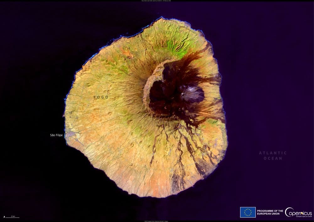
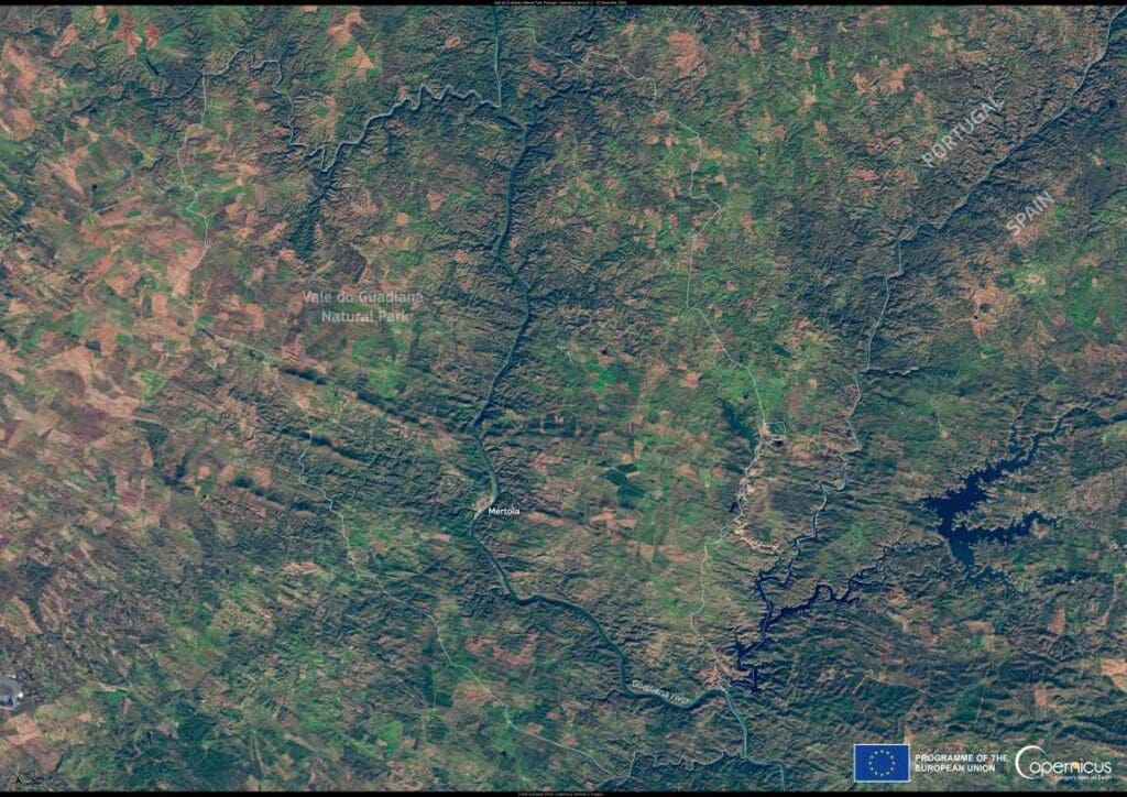
Featured image credit: European Union, Copernicus Sentinel-2 imagery