Lake Omodeo has long been one of Sardinia’s most important pieces of water infrastructure. Stretching across central parts of the island, the artificial reservoir regulates flows from the Tirso River and supports drinking water supplies, irrigation networks, and hydropower generation. Its size has historically offered a sense of security during dry periods, allowing water managers to smooth out seasonal and annual variability in rainfall.
That sense of buffer is now under strain. Sardinia has experienced repeated droughts in recent years, and the effects are increasingly visible in its major reservoirs. Lake Omodeo, once defined by a broad and continuous water surface, has seen its shoreline gradually pull back, exposing land that normally remains submerged. The shrinking lake is not just a visual change but a signal of mounting pressure on the island’s water system.

The scale of this change is clearly visible in Copernicus Sentinel-2 images acquired on 19 December 2023, 16 December 2024, and 11 December 2025. When compared side by side, the images show a steady reduction in water extent. Pale, irregular bands around the lake trace earlier shorelines, marking where the water level stood in previous years and highlighting how much surface area has been lost over time.
Official figures from local authorities mirror what the satellite data reveal. At the end of November 2023, Lake Omodeo stored 349.04 million m³ of water, equivalent to 83.30% of its full capacity. By the end of November 2024, storage had fallen to 256.71 million m³, or 61.27%. One year later, at the end of November 2025, the volume declined further to 187.44 million m³, representing just 44.74% of capacity.
Copernicus Sentinel-2 data play a key role in documenting these shifts, offering consistent observations that support long-term water resource planning. For Sardinia, Lake Omodeo’s retreating waters serve as a reminder that even large reservoirs are vulnerable to prolonged dry conditions, and that managing water scarcity is becoming an increasingly central challenge for the region.
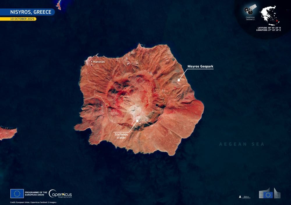
Featured image credit: European Union, Copernicus Sentinel-2 imagery