In south-eastern Latvia, the city of Daugavpils sits at a point where the Daugava River begins to slow and widen, transitioning from a largely natural valley into an urban landscape shaped by centuries of settlement. The river has long defined the city’s geography, economy, and cultural identity, acting both as a corridor of movement and as a natural boundary.
Daugavpils is Latvia’s second-largest city and the main urban centre of the Latgale region. First mentioned in historical records in 1275, the city has developed at a strategic crossroads near today’s borders with Lithuania, Belarus, and Russia. Over time, shifting political and cultural influences have left their mark, producing a multi-ethnic and multi-confessional city whose historic centre combines classical and eclectic architecture within a coherent urban fabric.
The city occupies 72.48 square kilometres and had a population of 79,120 as of January 1, 2022. It is divided into 25 districts, most of them located on the right bank of the Daugava. Rail and road connections link Daugavpils directly to Riga and neighbouring countries, reinforcing its role as a regional hub for industry, education, and culture.
Upstream from the city, the Daugava flows through one of Latvia’s most distinctive river landscapes. The Upper Daugava valley, stretching through parts of the Augšdaugava and Krāslava regions and reaching the outskirts of Daugavpils, is included on UNESCO’s Tentative World Heritage List as the Meanders of the Upper Daugava. This section of the river is defined by pronounced bends, steep banks, floodplains, and forested slopes formed after the last Ice Age.

The Upper Daugava meanders support a wide range of habitats and species and contain traces of human presence dating back thousands of years, including ancient settlement sites, burial grounds, and historic transport routes. Daugavpils stands at the downstream edge of this landscape, where the largely natural river system meets a dense urban environment. The relationship highlights how the city and its surrounding region remain closely connected to the river’s long-term natural processes.
The satellite image, acquired by Copernicus Sentinel-2 on 19 October 2025, captures this transition clearly. The Daugava appears in dark blue to black tones as it curves through the city, while forested areas along the riverbanks show as deep green. Surrounding farmland is visible in lighter green and brown hues, reflecting seasonal conditions in mid-autumn. Urban areas form a distinct pattern within this broader landscape.
Such imagery is more than visual documentation. Copernicus Sentinel-2 data supports the monitoring of river dynamics, land use change, and ecosystem health across the Daugava basin. For cities like Daugavpils, this information contributes to sustainable urban planning, flood management, and the protection of ecologically valuable river corridors.
Viewed from above, Daugavpils appears as a city shaped by water and history alike. Positioned at the meeting point of an internationally recognised river landscape and a modern urban centre, it reflects the enduring influence of the Daugava on settlement, culture, and land use in eastern Latvia.
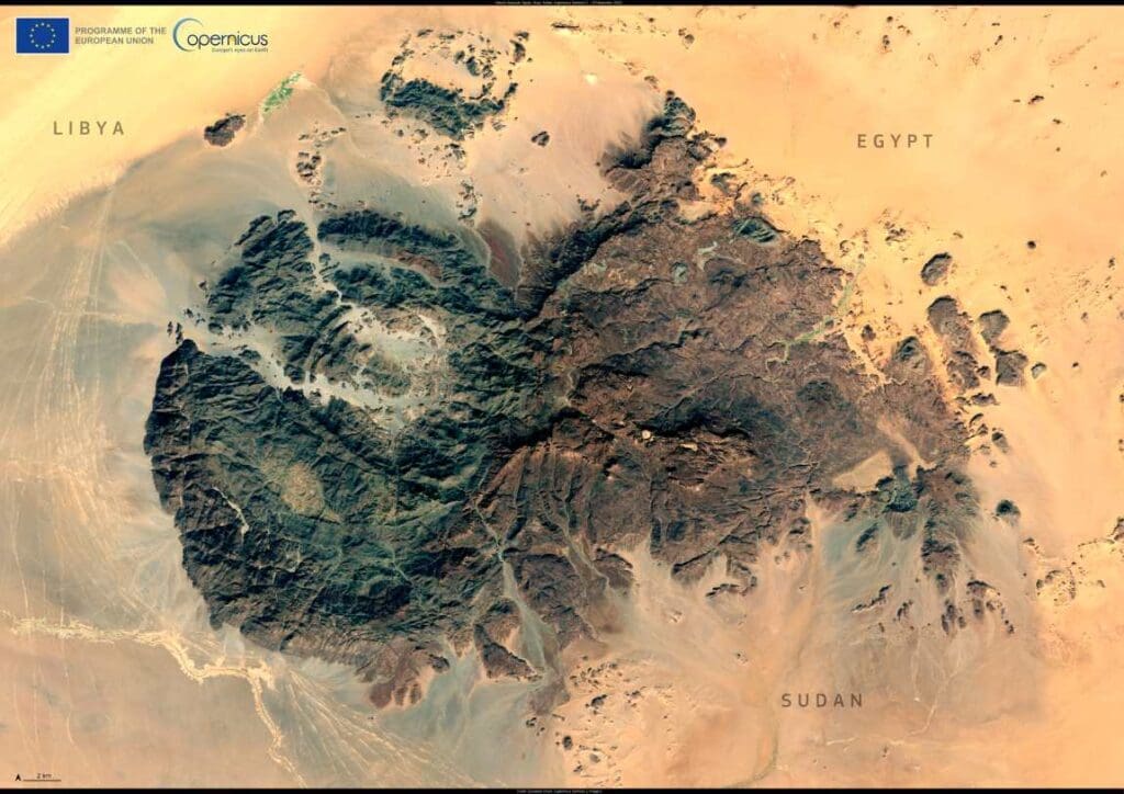
Featured image credit: European Union, Copernicus Sentinel-2 imagery