Summary:
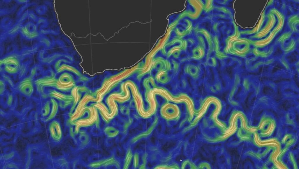
Climate warming across the United States is more widespread – and more uneven – than average temperature trends suggest, according to a new study by researchers from Universidad Carlos III de Madrid (UC3M) and the Universidad de Zaragoza (UNIZAR), published in PLOS Climate. By examining the full distribution of daily temperatures rather than relying only on mean values, the researchers show that 41 of the 48 contiguous US states have experienced statistically significant warming in at least part of their temperature range between 1950 and 2021.
Using data from the PRISM temperature database, the study analyzes more than 26,000 daily observations per state and applies a new framework to detect local warming patterns. While only 27 states show significant warming in average temperatures, 84% display warming when changes in low and high temperature quantiles are considered. This reveals sharp regional contrasts. West Coast states such as California, Oregon, and Washington are warming mainly through rising extreme high temperatures, increasing the risk of heatwaves. In contrast, several northern states show faster increases in minimum temperatures, pointing to milder winters.
The study also introduces the concept of “warming dominance” to compare states, identifying Rhode Island, Arizona, Connecticut, Massachusetts, and California as experiencing the most intense warming. The findings have implications for state-level climate policy, adaptation planning, agriculture, and public health.

— Press Release —
41 US states are warming, though each in a different way, according to a UC3M and UNIZAR study
- A study by UC3M and UNIZAR published in PLOS Climate uncovers hidden patterns of climate change by analyzing the entire temperature distribution rather than just the mean, as is common in most analyses.
- The research reveals that the West Coast states are experiencing increases in their highest annual temperatures, whereas many northern states show warming in the lower temperature range.
- Rhode Island, Arizona, Connecticut, Massachusetts, and California lead the ranking of states experiencing the most intense warming.
Different regions of the United States (US) are experiencing distinct climate warming patterns, according to a new study by researchers from the Universidad Carlos III de Madrid (UC3M) and the Universidad de Zaragoza (UNIZAR). This regional variation, identified using a new quantitative methodology, reveals that “global-local warming” is far more widespread than indicated by conventional analyses based solely on average temperatures.
Climate change is a global problem, but its effects can vary regionally, necessitating specific mitigation and adaptation strategies for each territory, as well as climate policy decisions at both global and local levels. However, this climate variability is rarely examined in detail, unlike other public policy issues such as health or economic status. In this study, the authors provide a framework for comparing detailed temperature trends across the 48 contiguous U.S. states (the continental states located in central North America).
“Historically, most climate studies have focused on mean temperature. It’s like trying to understand a country’s economic inequality by looking only at GDP per capita: you miss what is happening with the richest and the poorest,” explains one of the study’s authors, Jesús Gonzalo, Professor in the Department of Economics at UC3M.
The research team used the PRISM temperature database for the 1950–2021 period. This database combines more than 26,000 daily temperature observations per state, from which the full range of local temperatures is obtained. Based on this distribution, the authors propose a new climate typology for a given region, which depends on the growth rates of low and high temperatures in that area. To compare regional warming, they developed the concept of “warming dominance,” a tool that analyzes the full distribution of temperatures – not just the mean – revealing hidden patterns in climate change.
Consistent with previous research, the results indicate that only 27 states (55%) show an increase in mean temperature, whereas 41 states (84%) show an increase in at least one part of their temperature range. For example, West Coast states have experienced increases in their highest annual temperatures, while many northern states have experienced increases in the lower range of temperatures.
“By looking beyond average temperatures, we show that most US states are warming in specific parts of the temperature distribution, even when the average warming is not statistically significant. This reveals strong regional inequalities in how climate change is experienced across the US,” notes the study’s co-author, Lola Gadea, Professor of Applied Economics at the Universidad de Zaragoza.
These regional differences are likely to have varying impacts on factors such as agriculture and public health, as well as on public perception and commitment to climate action, according to the researchers. This same analytical method could also be applied in future studies to other variable climate impacts, such as changes in precipitation and sea-level rise.

Climate results by state
This research identifies very distinct regional patterns that traditional averages overlooked. In the West, in states such as California, Oregon, Washington, or Nevada, warming is primarily due to high temperatures rising faster than low temperatures. In other words, hot days are becoming increasingly extreme, which increases thermal dispersion and the risk of heatwaves.
In states like North and South Dakota and Minnesota, minimum temperatures are rising faster than maximums. That is, winters are “softening,” which reduces thermal variability. Meanwhile, the South appears to be the most stable region: states such as Alabama, Mississippi, and Texas show few signs of trend in aggregated data, although the study warns of changes in specific parts of their distributions.
The study also establishes a ranking of states experiencing the most intense warming (what the authors call “strong dominance”). The list is headed by Rhode Island, Arizona, Connecticut, Massachusetts, and California. These states act as warming “leaders,” recording more severe temperature increases than the rest of the country.
Another striking finding from the research is the correlation between the areas of greatest warming and political orientation. States with a stronger “warming dominance” (mainly on the Northeast and West coasts) largely coincide with Democratic voting patterns, while areas where warming is statistically less evident (the South and parts of the interior) tend to be Republican.
This new approach to measuring climate change is not merely a theoretical exercise. “Detecting whether a region is warming because its summers are becoming more hellish or because its winters are disappearing is crucial for designing effective adaptation policies,” the researchers point out. Measures to protect agriculture, public health, or infrastructure must differ depending on the type of warming each region undergoes.
***
This research has been supported by the Ministry of Science and Innovation, the State Research Agency, and the European Regional Development Fund, among other organizations.
Journal Reference:
Rivas MDG, Gonzalo J, ‘Regional heterogeneity and warming dominance in the United States’, PLOS Climate 5 (2): e0000808 (2026). DOI: 10.1371/journal.pclm.0000808
Article Source:
Press Release/Material by Universidad Carlos III de Madrid (UC3M)
Featured image credit: Sebastian Koenig | Unsplash