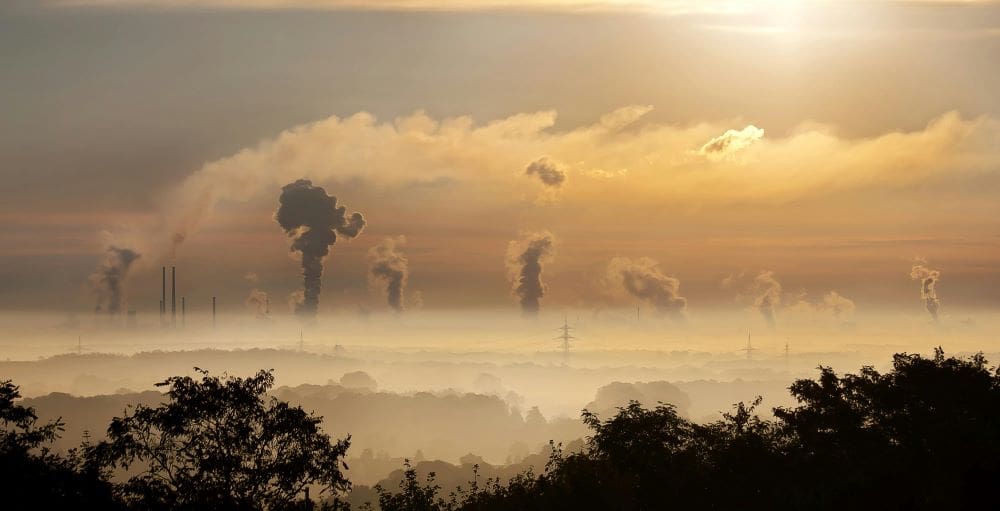
Coastal zones are among the most heavily transformed environments, with urban development increasingly replacing habitats that support marine biodiversity. In the Mediterranean, this pressure is particularly visible in small, densely built territories.
Monaco lies on the French Riviera along the Mediterranean Sea, bordered by France and backed by the steep slopes of the Maritime Alps. The principality covers just 202 hectares and has the highest population density in the world. More than 53 hectares – over 25% of its surface – have been created through land reclamation, largely at the expense of shallow coastal areas. These zones are critical habitats, particularly for seagrass systems such as Posidonia oceanica, which play a key role in carbon storage, water quality and marine biodiversity.
Despite its size and level of urbanisation, Monaco still hosts a diverse range of species. A total of 347 plant taxa have been recorded across 79 families, including 6 endemic taxa representing around 2% of its flora. At least 49 plant taxa have disappeared from the territory, indicating long-term habitat loss. Vegetation is dominated by thermophilic species such as olive, carob and Aleppo pine. Natural habitats are now largely confined to limestone cliffs, where rare species such as Campanula macrorhiza and Asplenium petrarchae persist. Green spaces still cover around 42 hectares, or 20% of the territory, providing limited ecological continuity within an otherwise urban landscape.

The Copernicus Sentinel-2 image acquired on 16 March 2026 shows Monaco as a dense urban strip confined between steep terrain and the Mediterranean Sea. Port Hercules is visible at the centre, while the coastline displays sharp, geometric extensions into the water corresponding to reclaimed land. These artificial forms contrast with the irregular natural coastline nearby. Variations in water colour offshore indicate sediment dispersion and altered circulation linked to coastal engineering.
Biodiversity under pressure in a highly urbanised territory
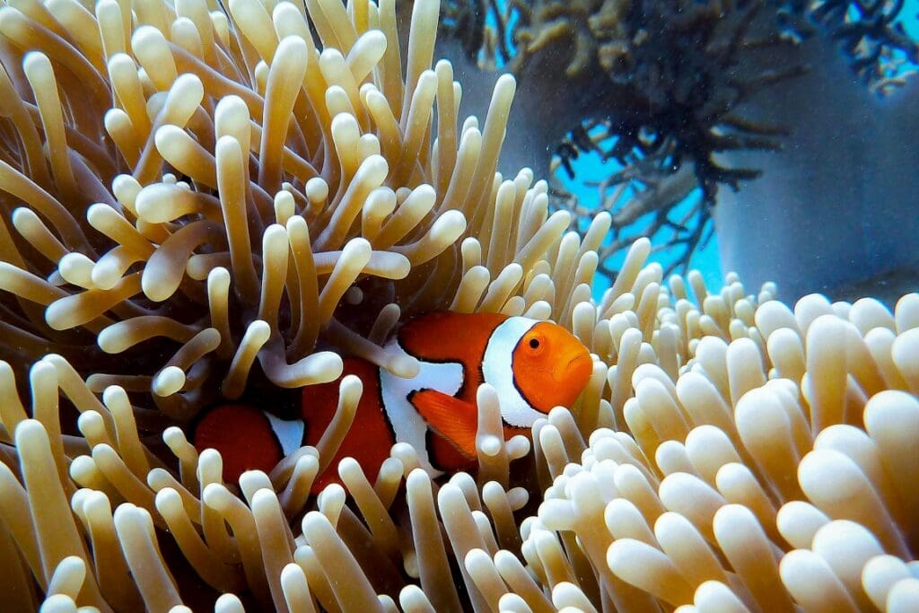
Marine and terrestrial fauna reflect similar constraints. Monaco has recorded 62 bird species, including 7 considered threatened, while opportunistic species such as the Yellow-legged gull (Goéland leucophée) exert pressure on smaller birds and mammals. Coastal waters host protected species including the dusky grouper and corb, while the noble pen shell serves as an indicator of water quality. In 2013, the discovery of a new beetle species (Troglorynchus) highlighted that even highly urbanised environments can still harbour previously undocumented biodiversity.
The main drivers of biodiversity loss remain habitat degradation, pollution, invasive species and climate change. Monaco has responded with targeted measures. Artificial reefs have been deployed for more than three decades in the Larvotto Marine Reserve, which is also designated as a Ramsar wetland of international importance, and marine protected areas now cover 35.5 hectares. All territorial waters are included in the PELAGOS Sanctuary for Mediterranean Marine Mammals.
At the same time, development continues. Recent projects such as the Mareterra extension add new land while incorporating environmental mitigation measures, including species relocation and habitat reconstruction. These approaches reduce local impacts but do not fully replicate the ecological functions of natural coastal systems.
In a territory with no forests or agricultural land and where most surfaces are engineered, the interaction between development and biodiversity remains unresolved. Copernicus satellite data provides a consistent way to track these changes, from shoreline expansion to shifts in coastal waters, helping assess how this highly constrained coastline continues to evolve under combined urban and environmental pressures.
Featured image credit: European Union, Copernicus Sentinel-2 imagery