Image of the day: The Tatra MountainsNews Muser NewsDeskNovember 9, 2025
Full article
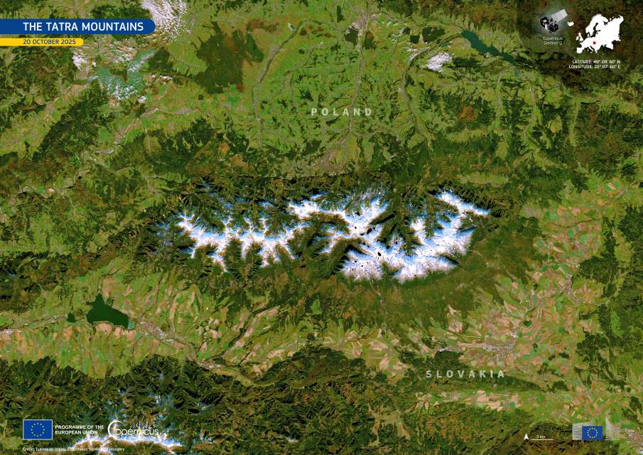
Image of the day: The Tatra Mountains
Stretching across southern Poland and northern Slovakia, the Tatra Mountains form the highest section of the Western Carpathians and one of Central Europe’s most striking…

Image of the day: Bratislava and its natural bordersNews Muser NewsDeskJuly 17, 2025
Full article
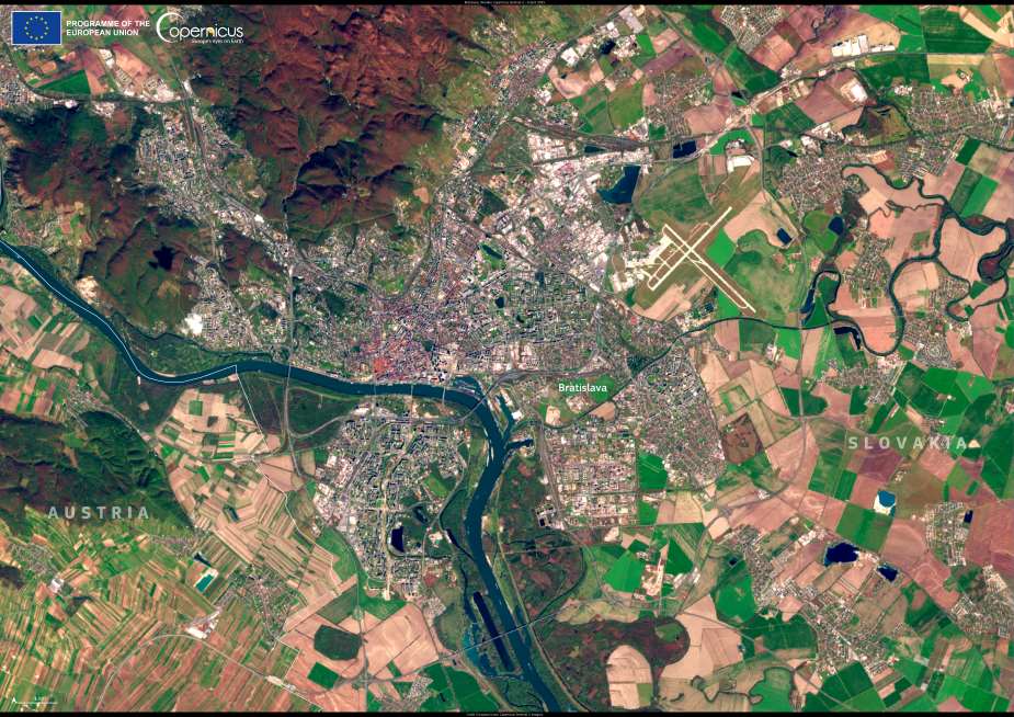
Image of the day: Bratislava and its natural borders
Bratislava, Slovakia’s capital, stretches along the Danube River and into the foothills of the Little Carpathians, creating a landscape where urban development meets protected natural…

Image of the day: Little Danube, SlovakiaNews Muser NewsDeskFebruary 20, 2025
Full article
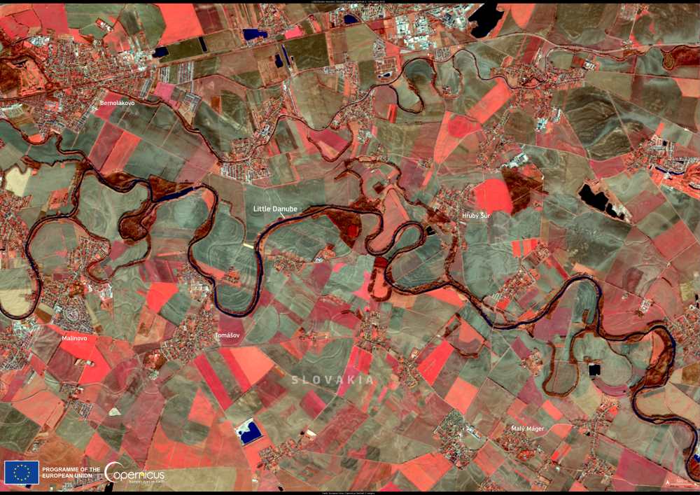
Image of the day: Little Danube, Slovakia
This false-color Copernicus Sentinel-2 image, captured on 5 February 2025, reveals the winding course of the Little Danube in Slovakia. A tributary of the Danube…

Image of the day: Protecting Central Europe’s largest floodplain forestNews Muser NewsDeskFebruary 13, 2025
Full article
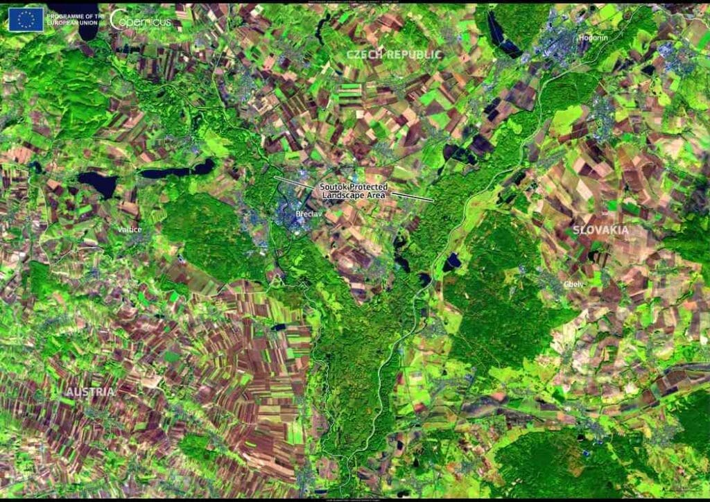
Image of the day: Protecting Central Europe’s largest floodplain forest
Stretching across the lowlands where the Morava and Dyje Rivers intertwine, a vast floodplain forest thrives at the crossroads of Austria, the Czech Republic, and…
