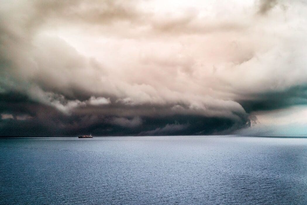
Norway is grappling with the aftermath of its most potent storm in over three decades as Hurricane-force winds wreaked havoc, leaving some residents without power. Storm Ingunn, named by Norwegian meteorologists, struck central parts of the country with winds reaching up to 180 kilometers per hour (kph), leading to flooding and widespread travel disruption.
The storm developed from a powerful jet stream racing across the Atlantic, explosively deepening an area of low pressure over Norway. The Norwegian Meteorological Institute issued red warnings, its highest alert, as Ingunn marked the strongest storm since the 1992 New Year’s hurricane.
The UK and Ireland, still recovering from back-to-back storms this winter, narrowly escaped the full ferocity of Storm Ingunn. The consecutive storms, Jocelyn and Isha, brought wind speeds of up to 156 kph to the region.
As storm-battered European countries, including Norway, the UK, Ireland, and Sweden, wonder about the increasing frequency of extreme weather events, the question arises: Is climate change to blame?
The UK Met Office reports that, despite the alphabetical naming of storms since 2015, it’s challenging to measure climate change impacts accurately. While there is no evidence of positive or negative trends in windstorm number or intensity in recent climate data, climate projections suggest an increase in winter windstorms in the coming years.
Attribution studies, which determine the influence of climate change on specific weather events, are less common for windstorms. However, scientists predict a slight rise in their numbers over the UK and Europe in the future.
Factors contributing to the surge in storms this year include a powerful jet stream influenced by a temperature difference between the pole and the equator. Bitterly cold Arctic winds have intensified the jet stream, shaping areas of low and high pressure that result in stormy weather. The El Niño weather phenomenon, with its warmer-than-average sea surface temperatures, also plays a role, amplifying the impacts of each occurrence.
While the public watches storms unfold, there is curiosity about the naming process. In Europe, countries collaborate to track and name storms. Storm names, decided by national meteorological agencies, are alphabetical and avoid certain letters to adhere to international standards. The names come from lists published at the season’s start, alternating between male and female options, some submitted by the public or chosen to honor notable figures.
As meteorologists foresee a stormier future, naming storms helps communication and provides clarity during severe weather. The broader message emphasizes the need for climate adaptation and future-proofing in a changing landscape.
Source: UK Met Office
Featured image credit: wirestock | Freepik

