Washington, United States (AFP) – A tiny NASA satellite was launched Saturday from New Zealand with the mission of improving climate change prediction by measuring heat escaping from Earth’s poles for the first time.
“This new information — and we’ve never had it before — will improve our ability to model what’s happening in the poles, what’s happening in climate,” NASA’s earth sciences research director Karen St. Germain told a recent news conference.
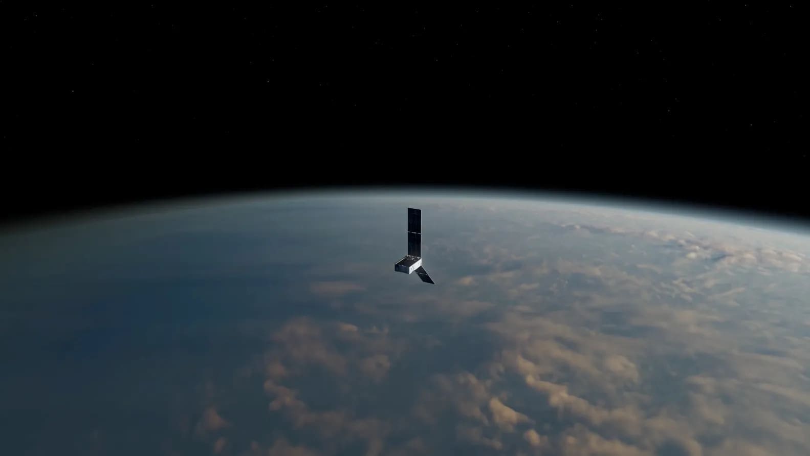
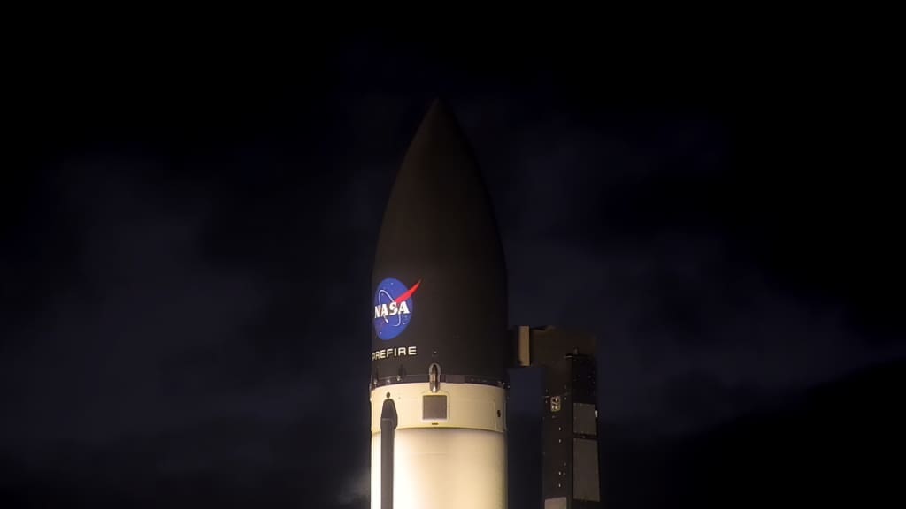
The satellite, which is the size of a shoe box, was launched by an Electron rocket, built by a company called Rocket Lab, which lifted off from Mahia in the north of New Zealand. The overall mission is called PREFIRE.
The company is later to launch a similar satellite of its own.
They will serve to take infrared measurements far above the Arctic and Antarctic so as to measure directly the heat that the poles release into space.
“This is critical because it actually helps to balance the excess heat that’s received in the tropical regions and really regulate the earth’s temperature,” said Tristan L’Ecuyer, a mission researcher affiliated with the University of Wisconsin, Madison.
“And the process of getting the heat from the tropical regions to the polar regions is actually what drives all of our weather around the planet,” he added.
With PREFIRE, NASA aims to understand how clouds, humidity or the melting of ice into water affects this heat loss from the poles.
Until now the models that climate change scientists used to gauge heat loss were based on theories rather than real observations, said L’Ecuyer.
“Hopefully we’ll be able to improve our ability to simulate what sea level rise might look like in the future and also how the polar climate change is going to affect the weather systems around the planet,” he added.
Small satellites like this one are a low-cost way to answer very specific scientific questions, said St. Germain.
Larger satellites can be thought of as “generalists” and the small ones as “specialists,” she added.
“NASA needs both,” said St. Germain.
la/ev/st
© Agence France-Presse
Featured image: This artist’s concept depicts one of two PREFIRE CubeSats in orbit around Earth. The NASA mission will measure the amount of far-infrared radiation the planet’s polar regions shed to space – information that’s key to understanding Earth’s energy balance. Credit: NASA/JPL-Caltech

