Vandenberg Air Force Base, United States | AFP
A rocket carrying a sophisticated satellite blasted off Tuesday from California on a mission to investigate what role clouds could play in the fight against climate change.
The EarthCARE orbiter, the result of collaboration between the European Space Agency (ESA) and Japan’s JAXA space agency, launched on a SpaceX Falcon 9 rocket from Vandenberg air base at 3:20 pm local time (22:20 GMT).
“The holddown clamps have released Falcon 9 and we have begun our flight,” ESA said on its web site.
The two-tonne satellite will orbit nearly 400 kilometers (250 miles) above Earth for three years.
“Tonight’s launch is a reminder that space is not only about exploring distant galaxies and planets. It is about understanding our beautiful but fragile Earth,” ESA Director Josef Aschbacher said in a video posted Tuesday on social media.
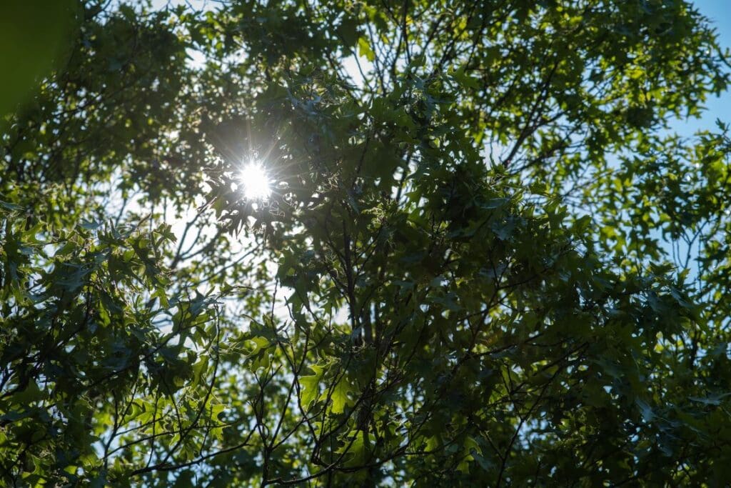
Clouds — from cumulus and cirrus to cumulonimbus — are a varied and complicated phenomenon.
Their composition depends on where they are located in the troposphere, Earth’s lowest layer of atmosphere, explained Dominique Gillieron, head of the ESA’s Earth observation projects department.
“They are one of the main contributors to how the climate changes — and one of the least understood,” Gillieron told AFP.
The troposphere starts at around eight kilometers (five miles) above the polar regions, but near the equator it begins at around 18 kilometers (11 miles) up. This means that clouds affect the climate differently depending on their altitude and latitude.
White and bright cumulus clouds, which are made out of water droplets, sit low and work like a parasol, reflecting the Sun’s radiation back into space and cooling the atmosphere.
Higher up, cirrus clouds made of ice crystals allow solar radiation to pass through, heating up our world.
Cirrus clouds then trap in the heat like a blanket, Gillieron said.
Parasol or blanket?
Understanding the nature of clouds has become essential, said Simonetta Cheli, head of the ESA’s Earth observation programs.
EarthCARE will become the first satellite to measure both the vertical and horizontal distribution of clouds, she told a press conference.
Two of the satellite’s instruments will flash light at the clouds to probe their depths.
One of them, involving light detection and ranging, or LIDAR, will use a laser pulse to measure both clouds and aerosols, which are tiny particles such as dust, pollen or human-emitted pollutants like smoke or ash.
Aerosols are the precursors to clouds, Gillieron explained.
The satellite’s radar will pierce through the clouds to measure how much water they contain, and track cloud speed. Other instruments will measure shape and temperature.
The data will form the first complete picture of clouds from the perspective of a satellite, and help update climate models that estimate how quickly our world will warm.
The mission aims to find out “whether the current effect of the clouds, which is rather cooling at the moment — the parasol outweighs the blanket — will become stronger or weaker,” Gillieron said.
This trend has become more difficult to predict as global warming has changed the distribution of clouds.
“EarthCARE is being launched at an even more important time than when it was conceived in 2004,” Cheli said.
juc/dl/bfm/bgs/md/dw
© Agence France-Presse
Article Source:
Press Release/Material (updated) by Patrick T. FALLON with Juliette COLLEN in Paris | AFP
Featured image: Artist’s view of EarthCARE on board a Falcon 9 launch vehicle. Equipped with four instruments, the Earth Cloud Aerosol and Radiation Explorer (EarthCARE) satellite mission has been designed to make a range of different measurements that together will shed new light on the role that clouds and aerosols play in regulating Earth’s climate. Credit: ESA – P. Carril | ESA Standard Licence