By Matthieu CLAVEL | AFP
Caen, France – As France prepares to mark 80 years since Allied forces landed on the beaches of Normandy, the historic coastline faces a new threat — rising sea levels linked to climate change.
More than 100 kilometres (62 miles) of Normandy’s coastline bear traces of June 6, 1944, including bunkers, shipwrecked vessels, and other vestiges from the Allied troops’ first step to freeing western Europe from Nazi German occupation.
But now, the sea from which 150,000 Allied troops conducted the largest seaborne invasion in history threatens those same heritage sites.
Rising sea levels are eroding dunes and cliffs, while marshes and reclaimed land risk submersion at sites visited by millions each year.
The famed beaches –- code-named Utah, Omaha, Juno, Sword and Gold –- that were stormed by US, British Commonwealth and other allied troops have all drastically changed in 80 years.
The D-Day sites “already bear no resemblance to what Allied soldiers experienced on June 6, 1944”, said Regis Leymarie, a geographer with the Coastal Conservatory in Normandy.
“We’re in the process of moving from historic sites to places for interpreting history,” he added.
And changes are coming fast.
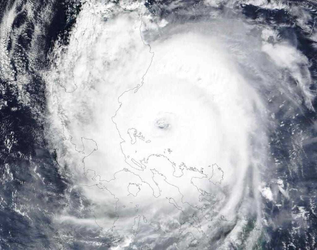
Rising global sea temperatures are accelerating the melting of polar ice caps and increasing sea levels, posing a threat to Normandy’s coastal communities.
“The environment will be transformed in 10 years or so,” said Leymarie.
‘We don’t have any help’
For some communities, these changes are already here.
In Graye-sur-Mer, a village along Juno Beach, the sea has toppled entire bunkers, leaving local residents worried that history is being swept out with the tide.
And yet, few town councils are prepared to take action.
Of the 15 or so contacted by AFP in recent months, fewer than half have replied.
Three others said they would not be “affected” or even “threatened” in the near future.
Charles de Vallavieille, the mayor of Sainte-Marie-du-Mont and director of the Utah Beach Museum, disagreed.
“(There are) difficulties. We must not deny them,” he said.
Standing in front of the museum founded by his father in 1962, de Vallavieille recalled watching former soldiers return to Normandy.
“I’ve seen veterans waving to the sea, crying… It’s the emotion of the beach,” de Vallavieille said.
He said these sites should be protected but that there are limitations to actions local leaders can take, adding: “We don’t have the right to do anything”.
“We don’t have any help even though it’s a problem that affects the whole coast –- protect one place and the water will go elsewhere.”
‘Coming to the end’
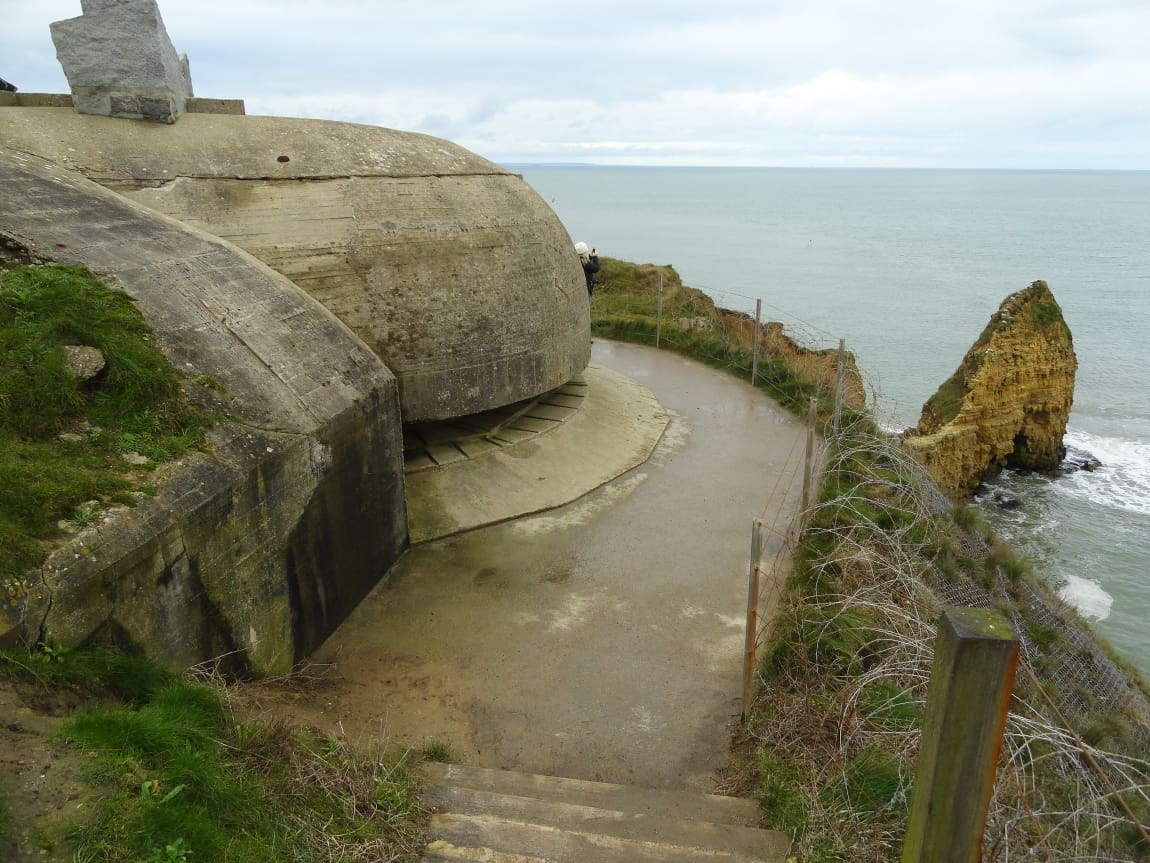
Located between the American and British landing sites, the Bessin cliffs, which were the site of a daring vertical assault by US Army Rangers, have not been spared.
Several German artillery batteries stood on these hard-to-reach outcrops, including the famed Pointe du Hoc, which attracts some 500,000 visitors a year.
Ascending the 25-metre (82-foot) cliff face in foul weather and under German fire, only 90 of the 225 attackers escaped unharmed.
Managed by the American Battle Monuments Commission (ABMC), the site is very fragile and partially collapsed in 2022.
ABMC said it had taken several steps to “secure the area”, including installing reinforced concrete walls and sensors to detect significant movement.
The agency also moved paths back 20 metres to ensure public safety.
For Normandy conservation official Leymarie, the only thing left to do is adapt to the coming changes.
Sea levels are currently rising by a few millimetres a year.
“It’s only over two or three generations that we become aware of it,” he said.
“We’re coming to the end of the D-Day landing sites as we knew them,” Leymarie said.
“And nature will reclaim its right.”
mac/ekf/jh/spb/gil
© Agence France-Presse
Featured image: La Pointe du Hoc, Cricqueville en Bessin, Normandie, France Credit: Achilli Family | Journeys | CC BY 2.0 DEED