Houma, United States (AFP) – Hurricane Francine, a Category 2 storm, made landfall Wednesday evening along the southeastern US state of Louisiana, according to the National Hurricane Center.

“Heavy rains and hurricane-force winds are spreading inland across southern Louisiana,” the agency said, noting the storm’s maximum sustained winds were estimated to be near 100 mph (155 km/h).

jgc/st

© Agence France-Presse

Featured image credit: kjpargeter | Freepik.com

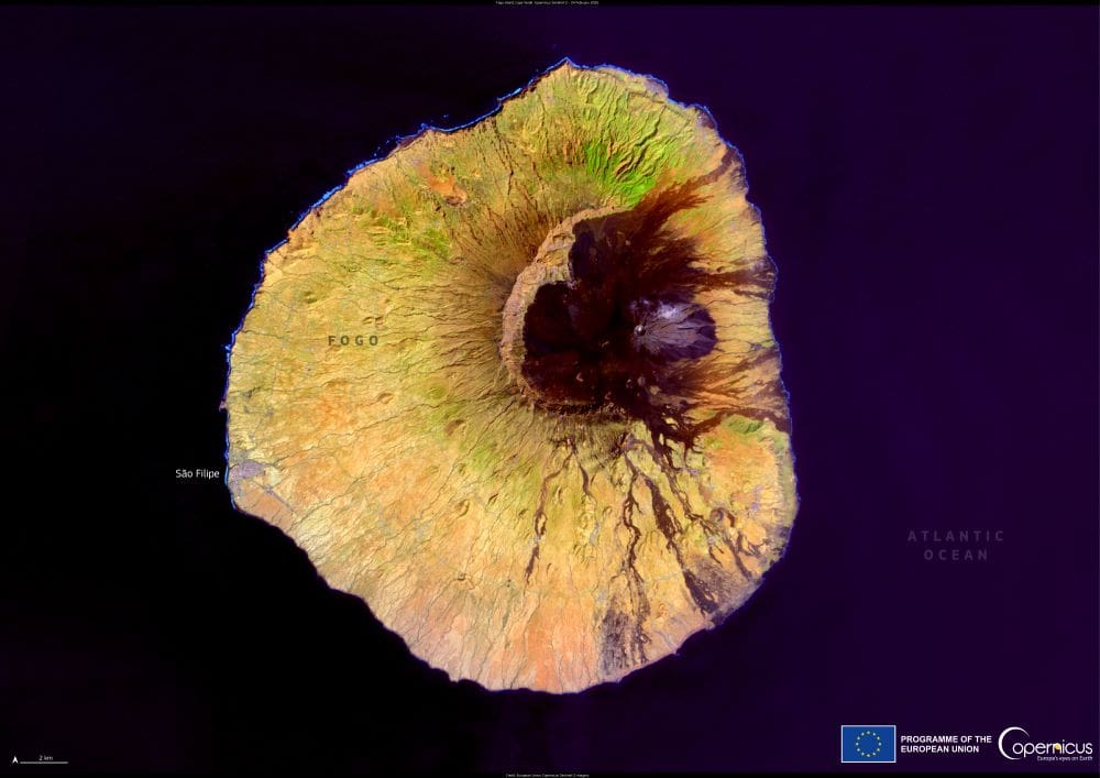
Satellite Image: Fogo, Cape Verde
Image of the day: Fogo’s volcanic heart in Cape VerdeNews

Image of the day: Fogo’s volcanic heart in Cape Verde

In the southern reaches of the Cape Verde archipelago, the island of Fogo rises from the Atlantic with a stark, volcanic presence. At its core…
Muser NewsDeskMuser NewsDeskJune 30, 2025 Full article
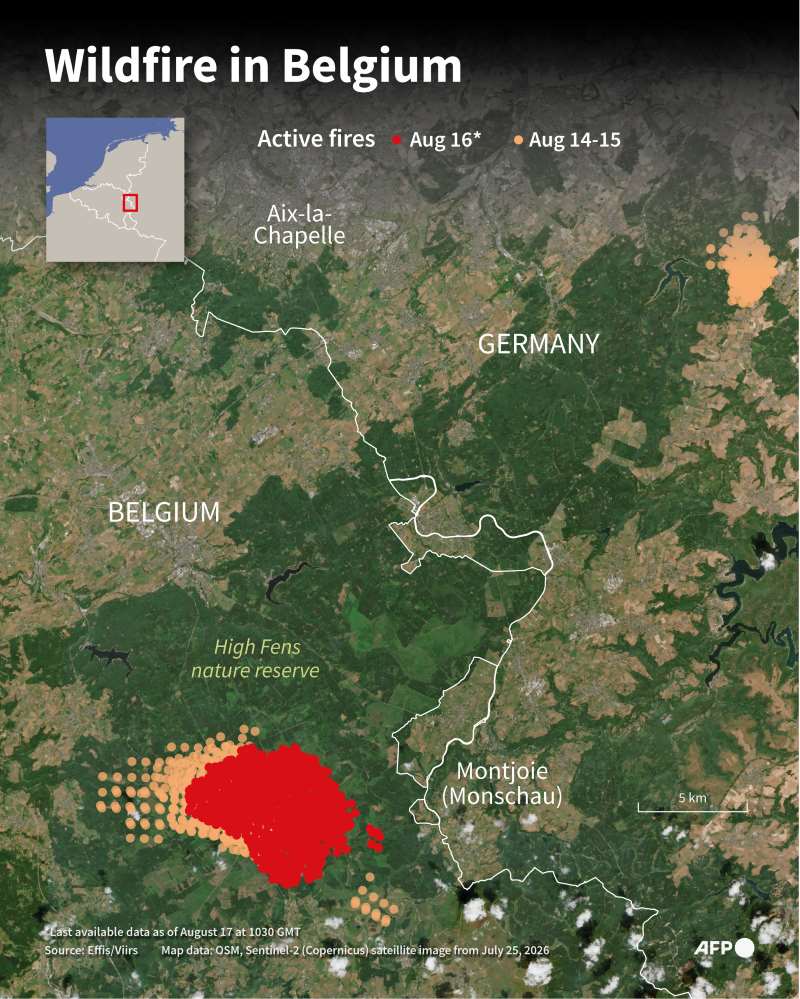
Infographic with a map showing the High Fens nature reserve in Belgium, on the border with Germany, showing active fires since August 14, 2026
Belgium fire makes ‘limited’ spread overnight, more help on wayNews

Belgium fire makes ‘limited’ spread overnight, more help on way

Robertville, Belgium | AFP | Muser NewsDesk Air reinforcements were headed to Belgium Monday to help combat the country's worst wildfire in a century, which made…
SourceSourceAugust 17, 2026 Full article
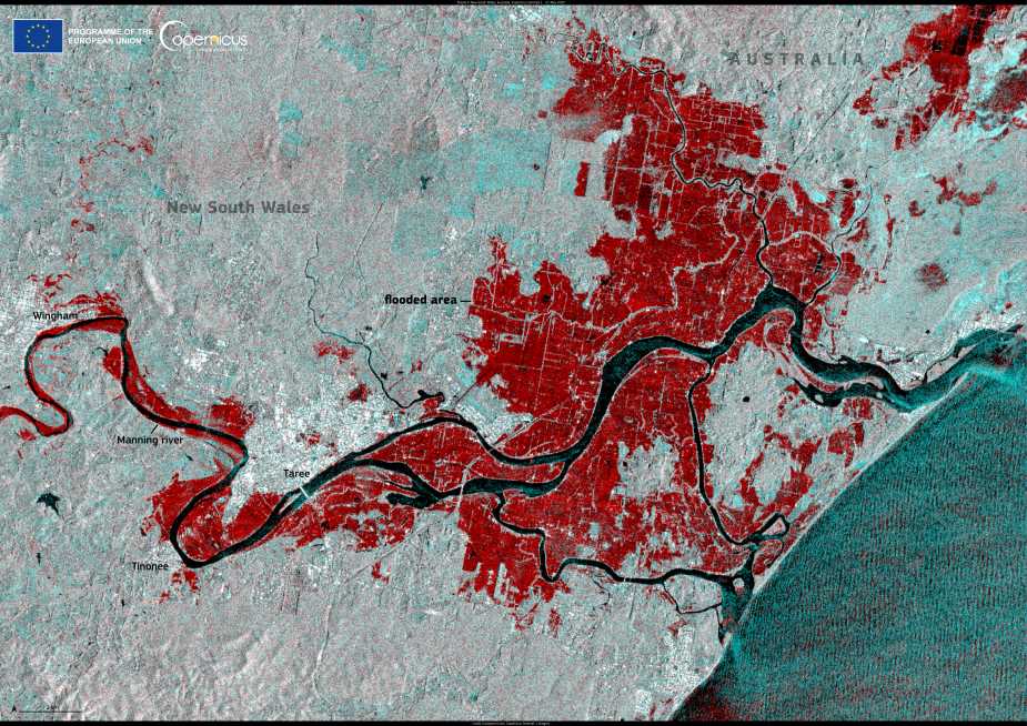
Satellite Image: New South Wales, Australia
Image of the day: Widespread flooding transforms eastern AustraliaNews

Image of the day: Widespread flooding transforms eastern Australia

Three days of intense rainfall in late May 2025 inundated eastern Australia’s New South Wales, triggering severe flooding across the state’s Hunter and Mid North…
Muser NewsDeskMuser NewsDeskMay 28, 2025 Full article