Atlas of the Human Planet: 50 years of population growth and urbanization trends
The newly published Atlas of the Human Planet details 50 years of global population growth and urbanization trends, emphasizing the evolution of urban and rural landscapes.
This comprehensive dataset equips policymakers and planners with essential tools to address future climate, social, and economic challenges.

The Atlas employs open data and satellite-derived geo-information to map the complex interactions between human settlements and the environment. By analyzing long-term datasets alongside current conditions, the Atlas reveals vulnerability to disasters and environmental pressures.
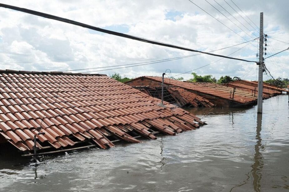
The European Commission’s Joint Research Centre produced this work to illustrate the deep connections between human development and ecological health. Notably, urban areas now house 45% of the global population, consuming 75% of energy resources and contributing significantly to greenhouse gas emissions.
The implications of urbanization on climate change, natural disasters, and public health underscore the need for informed planning and action.
Journal reference:
Ehrlich, D., Kemper, T., Uhl, J.H., Mari Rivero, I., Florio, P., Pesaresi, M., Melchiorri, M., Politis, P., Maffenini, L., Schiavina, M., Tommasi, P., Carioli, A. and Krasnodebska, K., ‘Atlas of the Human Planet 2024’, Publications Office of the European Union, Luxembourg, ISBN 978-92-68-14301-8, JRC136039. DOI: 10.2760/808886
Article Source:
Press Release/Material by EU Science Hub | EU
Indigenous population expansion and cultural burning reduced shrub cover that fuels megafires in Australia
A recent study highlights how Indigenous burning practices in Australia historically halved shrub cover, thus mitigating the fuel available for wildfires.

The research indicates that the cessation of these practices following European colonization has led to increased shrub cover, which now contributes to the severity of contemporary megafires.
The authors advocate for the reintroduction of cultural burning as a viable strategy for wildfire management. By analyzing over 2,800 archaeological and palaeoecological records, the researchers found that Indigenous population expansion and associated burning practices reduced shrub cover from approximately 30% to 15% during key historical periods.
In contrast, shrub cover has surged to 35% since colonization, exacerbating wildfire risks. This study underscores the importance of integrating traditional ecological knowledge into modern fire management practices to enhance biodiversity and reduce the intensity of wildfires.
Journal reference:
Michela Mariani et al. ‘Shrub cover declined as Indigenous populations expanded across southeast Australia’, Science 386, 567-573 (2024). DOI: 10.1126/science.adn8668
Article Source:
Press Release/Material by American Association for the Advancement of Science (AAAS)
Study reveals acceleration in Pacific upper-ocean circulation over past 30 years, impacting global weather patterns
A study published in the Journal of Geophysical Research: Oceans has identified a significant acceleration in the upper-ocean circulation of the equatorial Pacific over the last three decades. This change, primarily driven by intensified atmospheric winds, leads to stronger and shallower oceanic currents, which may alter global climate patterns, including the dynamics of El Niño and La Niña events.

Led by Franz Philip Tuchen, the research synthesized three decades of ocean and atmospheric observations. Findings indicate that near-surface currents have accelerated by approximately 20% in the central equatorial Pacific, with poleward currents increasing by 60% and 20%, respectively. Tuchen notes that the steepening of the equatorial thermocline could potentially reduce the amplitude of El Niño events, impacting regional and global weather systems.
This study provides valuable insights for improving climate models and enhancing the predictability of climate variability, particularly for regions affected by El Niño–Southern Oscillation (ENSO) dynamics.
Journal reference:
Franz Philip Tuchen, Renellys C. Perez, Gregory R. Foltz, Michael J. McPhaden, Rick Lumpkin, ‘Strengthening of the equatorial Pacific upper-ocean circulation over the past three decades’, Journal of Geophysical Research: Oceans 129 (11) (2024). DOI: 10.1029/2024JC021343
Article Source:
Press Release/Material by University of Miami Rosenstiel School of Marine, Atmospheric, and Earth Science
Featured image credit: Gerd Altmann | Pixabay