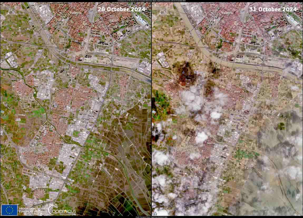
This data visualisation compares two Copernicus Sentinel-2 satellite acquisitions over the area south of Valencia, Spain, captured on 26 and 31 October 2024, before and after the devastating floods which hit the area during the evening of 29 October.

On 26 October, the area appears well delineated, with clear separations between densely populated areas, agricultural plots, and roads. The built-up areas are characterised by red roofs and roads, while the agricultural areas display different shades of green, indicating the presence of various types of crops.
2Nov2024 FloodsSpain res
Credit: European Union, Copernicus Sentinel-2 imagery

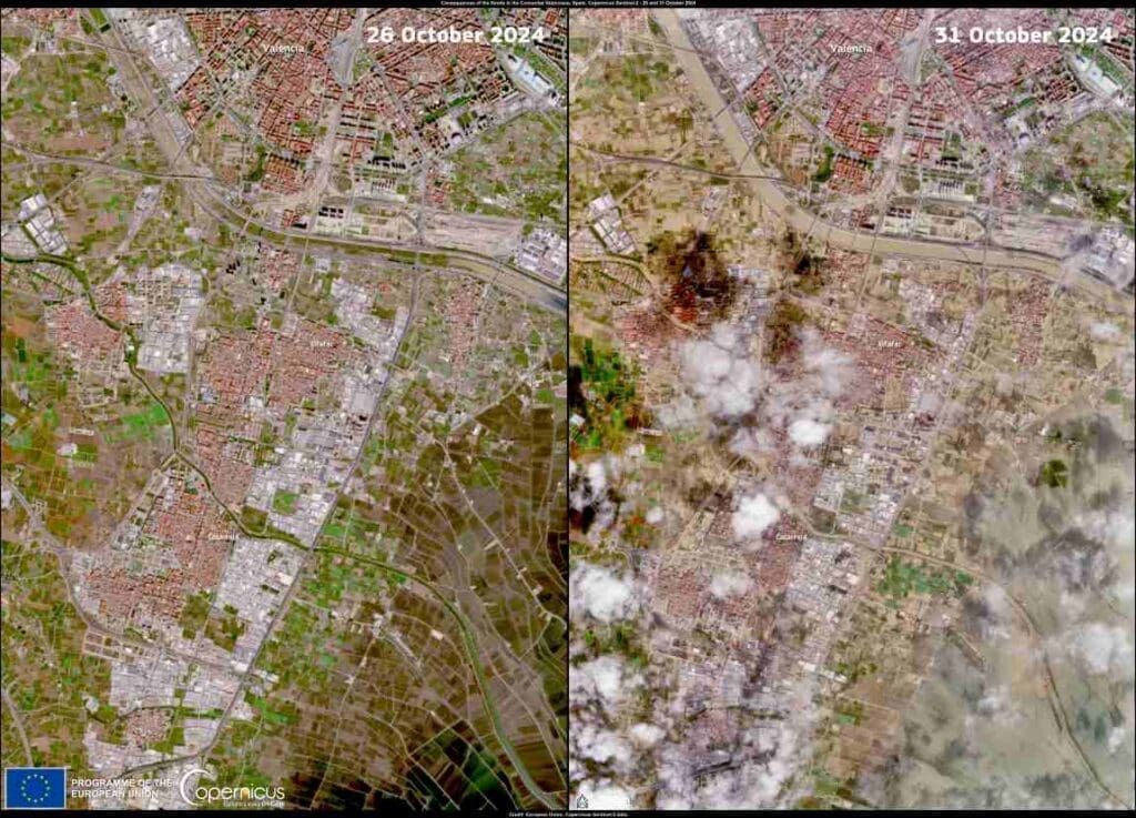
After the flooding, the latest image, acquired on 31 October, shows evidence of significant damage. Many of the previously green areas are now covered with mud and debris, resulting in a predominance of brown and ochre colours. This change of colour provides evidence of the extensive flooding which has affected fields and infrastructure. There is also an increased presence of turbid waters in watercourses and extensive flooded areas.

The Copernicus Emergency Management Service is working to provide mapping products to support the emergency response to the floods in the Comunitat Valenciana. More information is available here.

Featured image credit: European Union, Copernicus Sentinel-2 imagery

Image of the day: Record drought in Sicily
Satellite Image: Sicily
Image of the day: Record drought in SicilyNews

Image of the day: Record drought in Sicily

In 2024, Sicily, Italy faced its worst drought in almost 20 years, with nearly empty reservoirs and water rationing affecting up to two million people.…
SourceSourceNovember 29, 2024 Full article
Reclaimed by floods, wildlife returns to Romania’s Danube Delta
Reclaimed by floods, wildlife returns to Romania’s Danube DeltaNews

Reclaimed by floods, wildlife returns to Romania’s Danube Delta

By Ani SANDU | AFP Mahmudia, Romania - Tour guide Eugen Grigorov steered his boat past half-underwater combine harvesters and last year's flooded crops in…
SourceSourceAugust 1, 2024 Full article
Image of the day: Jebel Uweinat, a striking Saharan massif captured from space
Satellite image: Egypt, Libya, and Sudan
Image of the day: Jebel Uweinat, a striking Saharan massif captured from spaceNews

Image of the day: Jebel Uweinat, a striking Saharan massif captured from space

Rising dramatically from the heart of the Sahara Desert, Jebel Uweinat (Mount Uwaynat) stands as a monumental natural landmark where the borders of Egypt, Libya,…
Muser NewsDeskMuser NewsDeskDecember 14, 2024 Full article