On 11 January 2025, Tropical Cyclone Dikeledi struck Madagascar and the French territory of Mayotte, bringing devastation to communities in the Indian Ocean.
The cyclone unleashed heavy rainfall and winds surpassing 115 km/h, resulting in severe damage and at least three fatalities in Madagascar. The storm then moved toward Mayotte, where it caused flooding and mudslides, compounding challenges for the archipelago already reeling from Cyclone Chido, which had been the most severe storm to hit the islands in 90 years.
Dikeledi’s impact in Mayotte has drawn attention to the vulnerability of small island territories in the face of recurring extreme weather events. December’s Cyclone Chido left widespread destruction, and the back-to-back storms have further strained recovery efforts. Local officials have emphasized the urgency of preparedness and long-term adaptation measures as the effects of climate change intensify tropical cyclones in the region.

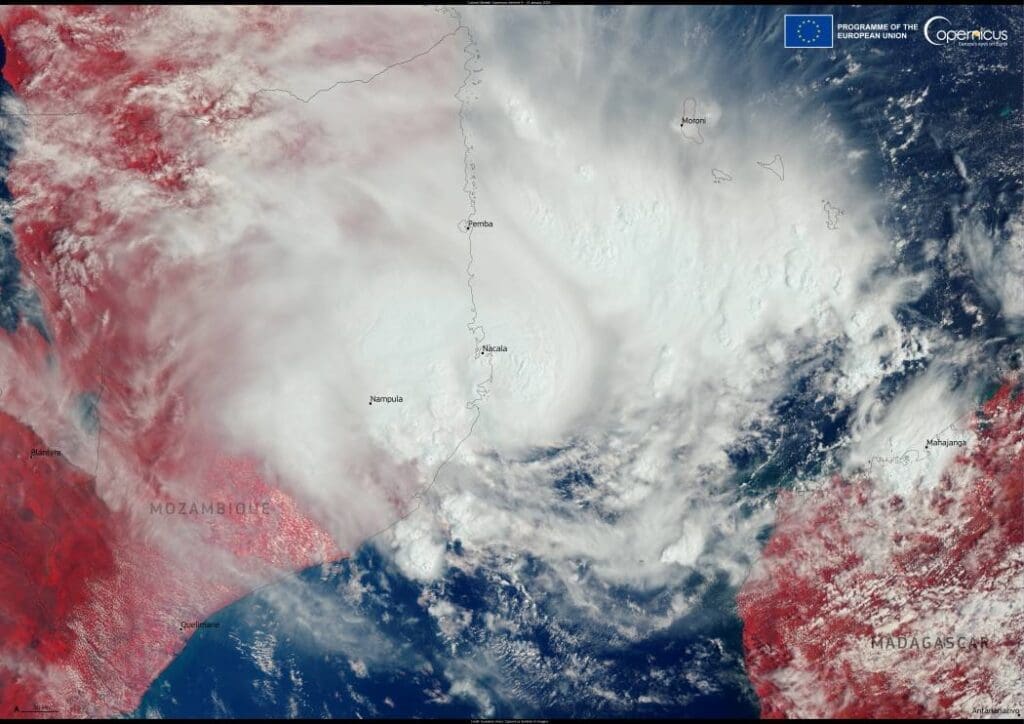
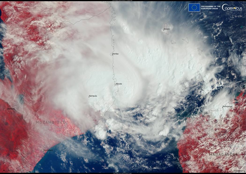
By 13 January 2025, Cyclone Dikeledi was visible in the Mozambique Channel, captured in this striking Copernicus Sentinel-3 image.
The cyclone’s trajectory is forecasted to move southward down the channel, threatening Mozambique with heavy rains, thunderstorms, and strong winds. Regional meteorological agencies have issued warnings for coastal communities to remain vigilant, as the storm’s residual effects could lead to flash flooding and disruptions.
The Copernicus Sentinel satellites, part of the European Union’s Earth observation program, have played a crucial role in monitoring Dikeledi. These satellites provide free and open data that enable researchers and emergency response teams to assess cyclone impacts, track storm progression, and plan recovery efforts. This data has become indispensable in mitigating the risks posed by increasingly frequent and intense tropical storms.
The Mozambique Channel remains a critical region for storm activity in the southern Indian Ocean. As Dikeledi progresses, its path serves as a reminder of the escalating challenges posed by climate-related disasters and the importance of global and regional cooperation in addressing these threats.
Featured image credit: European Union, Copernicus Sentinel-3 imagery


