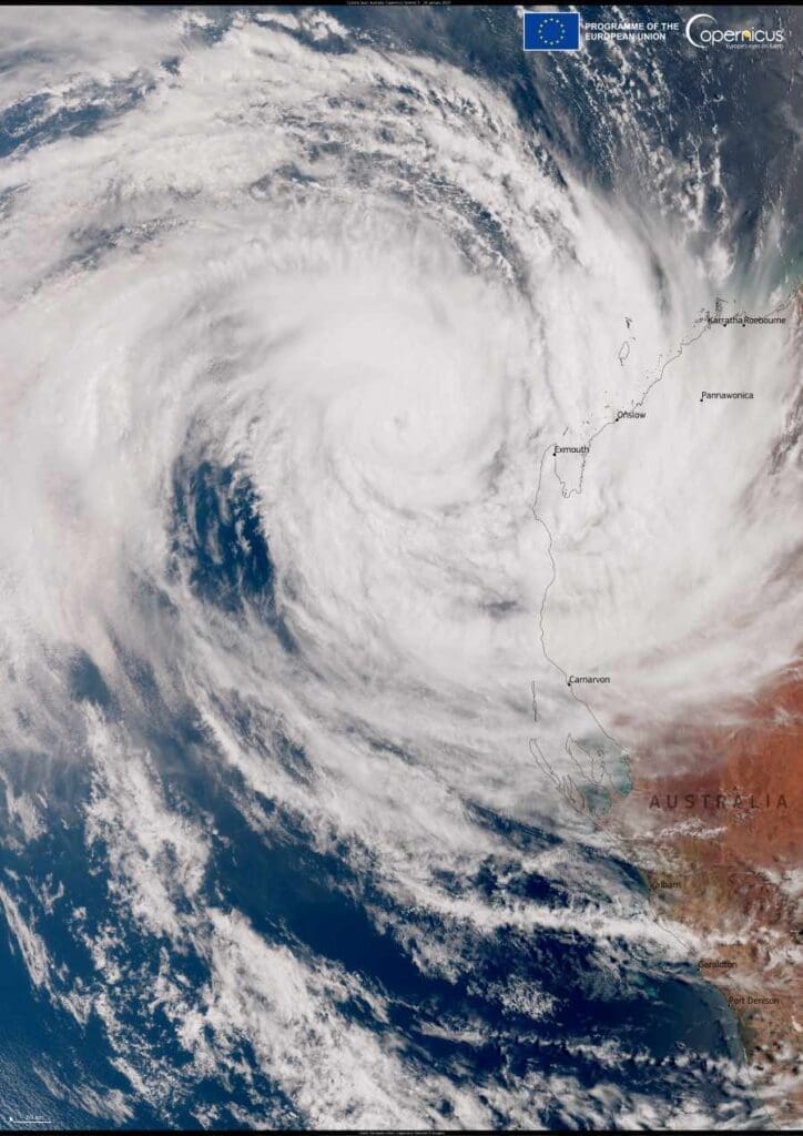
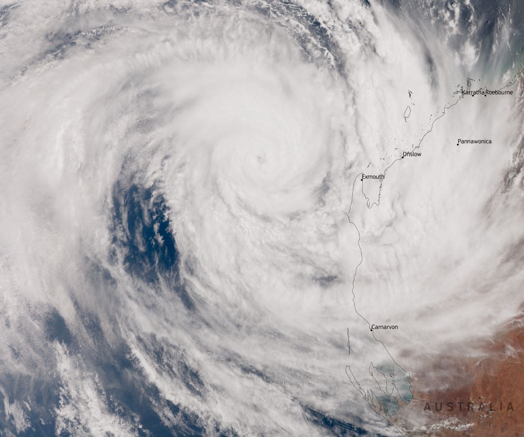
On January 20, 2025, the Australian Bureau of Meteorology upgraded Tropical Cyclone Sean to a Category 4 storm as it churned off the coast of Western Australia. This dramatic event was captured in a Copernicus Sentinel-3 satellite image, showing Sean’s swirling cloud bands near the coastline.
While the cyclone did not make landfall, it brought extreme weather to parts of the region, with the city of Karratha experiencing record-breaking rainfall. Over 270 mm of rain fell overnight, setting a new record for the area in nearly 20 years.
Intense wind gusts of up to 120 km/h compounded the impact, causing flooding, power outages, and disruptions to road travel. Videos shared online depicted streets submerged in rapidly flowing water and rain pounding the area.

Authorities issued warnings as emergency crews worked to rescue residents affected by flooding. While Karratha’s power supply was restored by Monday, efforts to repair storm-damaged infrastructure in nearby Exmouth were ongoing. About 250 customers remained without electricity as Horizon Power crews awaited safer conditions to continue restoration work.
By January 21, the cyclone had weakened to a Category 3 system as it moved further from the coast. Meteorologists predict that Sean will dissipate by Thursday, reducing the immediate threat to coastal communities.
The Copernicus Sentinel-3 satellite image not only provides a striking visual record of this storm but also highlights the critical role of open satellite data in tracking and understanding extreme weather events. Such insights help researchers and local authorities prepare for and respond to the growing challenges posed by severe storms, ensuring better safety and resilience for affected communities.
Featured image credit: European Union, Copernicus Sentinel-3 imagery (cropped image)


