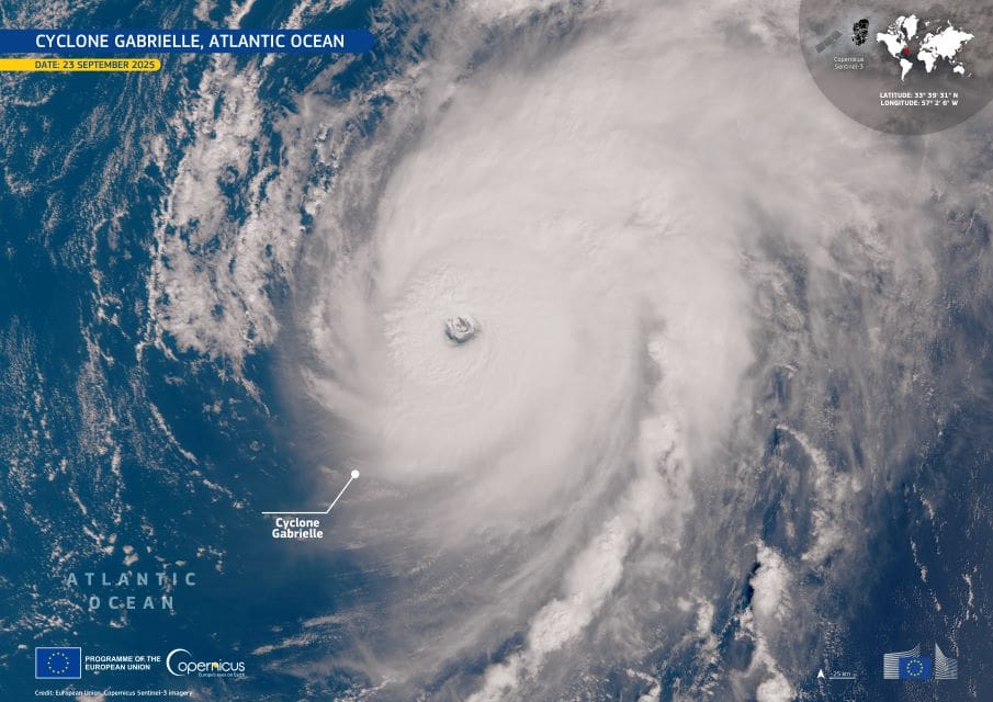
Three days of intense rainfall in late May 2025 inundated eastern Australia’s New South Wales, triggering severe flooding across the state’s Hunter and Mid North Coast regions. Emergency officials reported that the floods damaged more than 10,000 properties, claimed at least five lives, and left roughly 50,000 people isolated as rising rivers cut off communities and submerged roads. According to Prime Minister Anthony Albanese, recovery from the disaster could take several months.
The hardest-hit areas include the towns of Taree and Tinonee, where local rivers overflowed and emergency responders were pushed to their limits. In a single night, 52 flood rescues were carried out, while helicopters dropped essential supplies into stranded towns. Some locations recorded over 600 mm of rain within just a few days — a deluge that overwhelmed infrastructure and swamped farmlands.

Flooded areas near Taree and Tinonee are visible in this Copernicus Sentinel-1 radar image, acquired on 21 May 2025. The satellite data reveals expansive water coverage, with floodwaters appearing dark (red) compared to surrounding terrain. This view highlights the scale of the event across the Manning River catchment, where the water spilled far beyond its normal course.
Open data from the Copernicus programme is used by emergency services to monitor events like this in near real-time. These satellite observations are essential not only for directing immediate rescue and relief efforts but also for assessing damage and planning recovery in the weeks and months ahead. The flooding in New South Wales once again shows how quickly extreme rainfall can turn regional communities into disaster zones — and how critical accurate Earth observation data is for managing the consequences.
Featured image credit: European Union, Copernicus Sentinel-1 imagery