Summary:
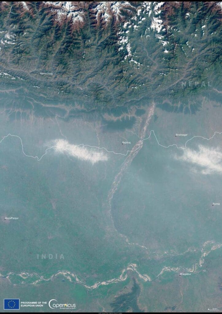
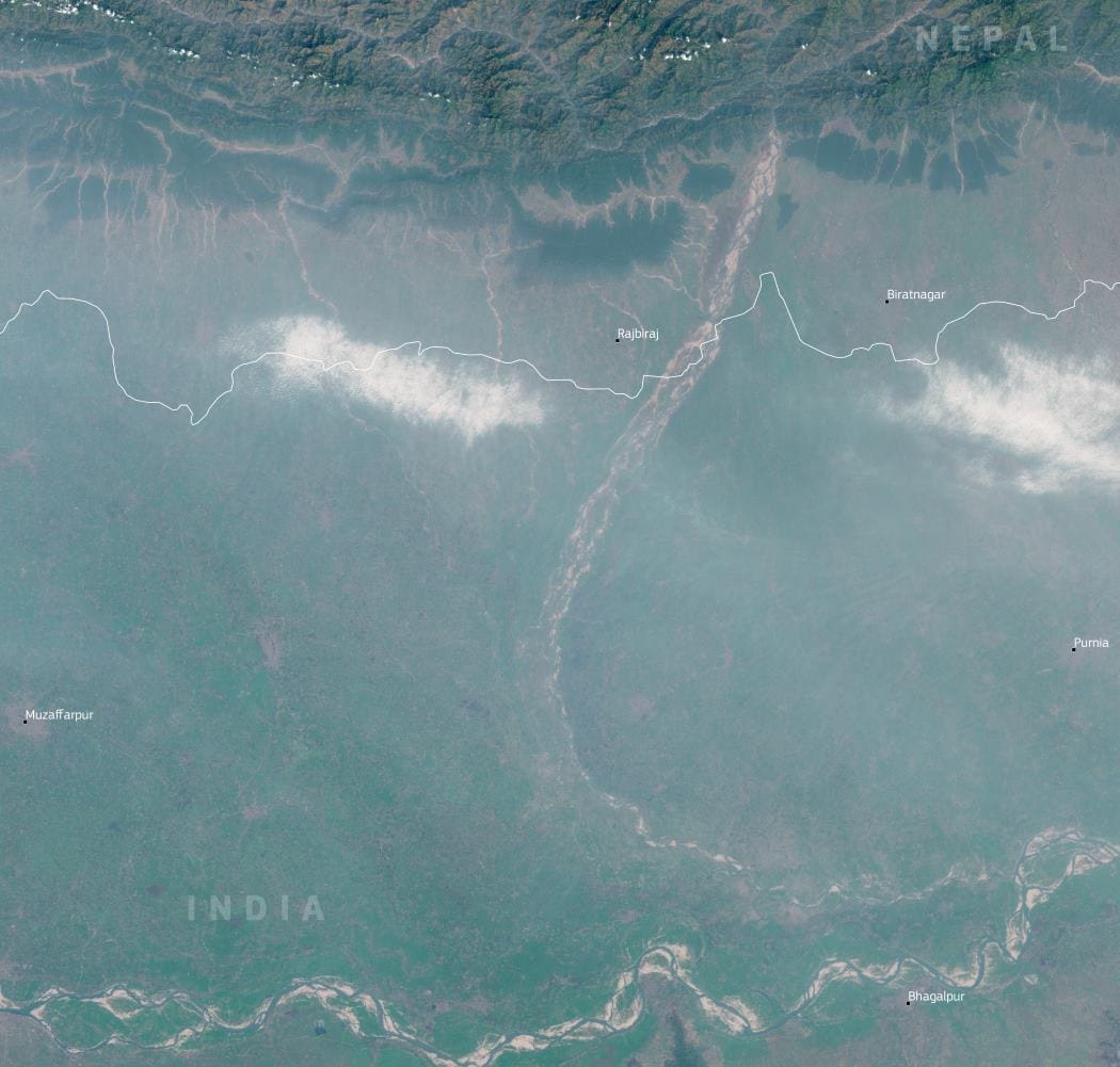
A dense haze settled over parts of the Indo-Gangetic Plain in late January, as seen in a satellite image captured by Copernicus Sentinel-2 on January 26, 2025. The image reveals a significant buildup of haze between Purnia and Muzaffarpur in Bihar, India, and Ramechhap and Biratnagar in southern Nepal. The widespread pollution affecting the region is driven by human activities, seasonal weather patterns, and geographic factors that trap pollutants near the surface.
A region vulnerable to pollution
The Indo-Gangetic Plain, extending from the delta of the Brahmaputra and Ganges rivers to the Indus River valley, is one of the most densely populated areas in the Indian subcontinent. It is home to nearly 40 percent of India’s population and spans northern India, eastern Pakistan, southern Nepal, and much of Bangladesh. While the region’s fertile land supports extensive agriculture, it also faces recurring air quality issues, particularly during the winter months when temperature inversions trap pollutants close to the ground.

The haze seen in the satellite image is largely a result of emissions from vehicle traffic, industrial activity, and crop residue burning. Additionally, the region’s unique topography contributes to the problem, as the Himalayas to the north act as a barrier that prevents pollutants from dispersing easily.
Health risks and air quality monitoring
Air pollution in the Indo-Gangetic Plain has been a growing concern, with long-term exposure linked to severe health impacts, including respiratory and cardiovascular diseases. A report from Down to Earth highlights that air pollution in the region could shorten the life expectancy of residents by as much as seven years.
To track and forecast pollution levels, the Copernicus Atmosphere Monitoring Service (CAMS) provides data on air quality in South and Southeast Asia. Their ongoing monitoring efforts help policymakers and researchers understand pollution trends and implement mitigation measures.
As air quality remains a critical issue for millions living in the Indo-Gangetic Plain, addressing pollution sources and strengthening monitoring efforts will be essential in the fight against worsening environmental and health impacts.
Featured image credit: European Union, Copernicus Sentinel-2 imagery


