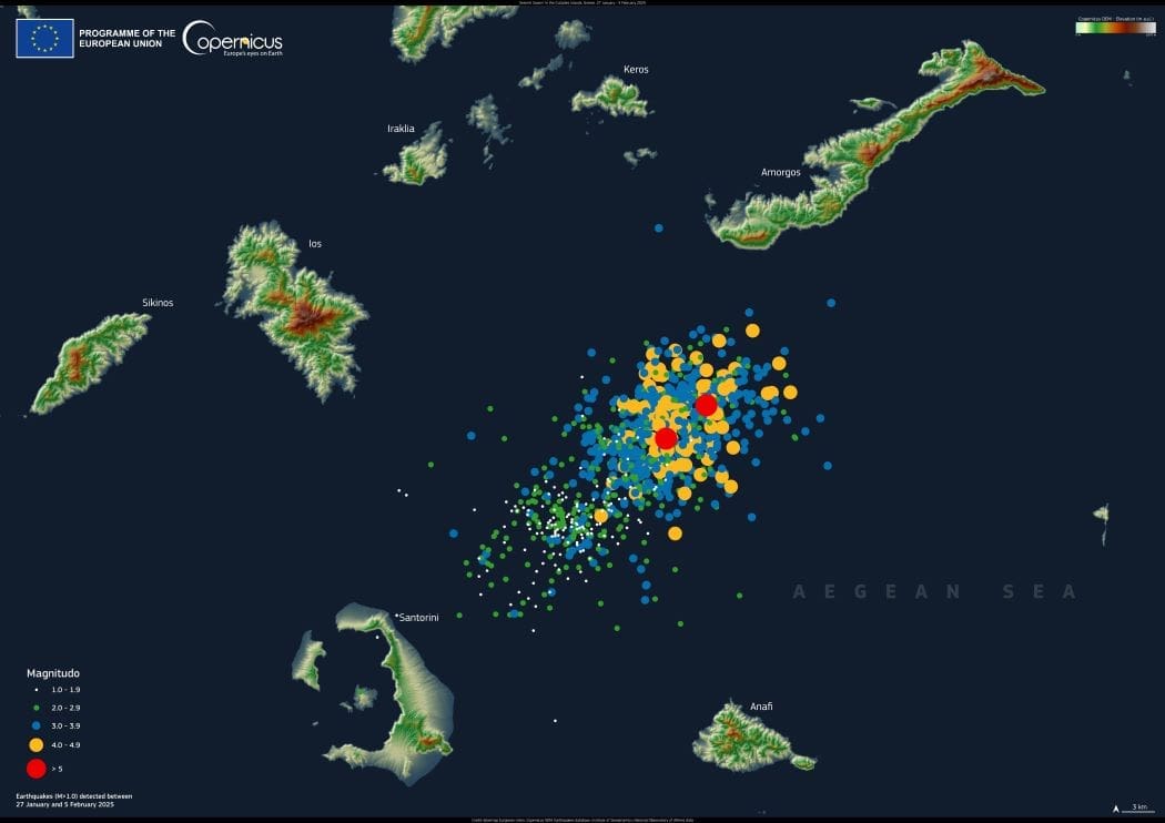
A surge of undersea earthquakes has been shaking Greece’s Cyclades Islands since January 27, 2025, with more than 1,000 tremors recorded so far. Several quakes have exceeded magnitude 5.0, with epicenters concentrated between Santorini and Amorgos, raising concerns about ongoing seismic activity.
The persistent tremors have led to a mass departure from Santorini, with around 15,000 people – mainly women and children – leaving the island. Many men have stayed behind to safeguard properties, while authorities declared a state of emergency to mobilize rescue teams. Officials have urged residents to take precautions, including draining swimming pools and avoiding steep cliffs due to the risk of rockfalls. Schools have been shut down, and public events canceled as a safety measure.
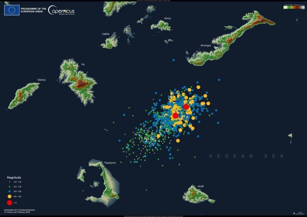
This image, created using data from the Copernicus Digital Elevation Model (DEM), maps the location and intensity of the earthquakes. The high-resolution model provides crucial data for tracking seismic events, aiding emergency response teams and researchers in assessing risks.
Satellite-based elevation models like Copernicus DEM are widely used in disaster management, offering valuable insights into natural hazards. As seismic activity in the region continues, such data remains essential for monitoring developments and guiding response efforts.
Featured image credit: European Union, Copernicus Digital Elevation Model