This image, captured by the Copernicus Sentinel-2 satellite on 23 October 2024, reveals the scenic Moselle wine region along the border between Luxembourg and Germany. The winding Moselle River, which serves as a natural boundary for 42 km, shapes the area’s unique microclimate, creating ideal conditions for vineyards that have thrived since Roman times.
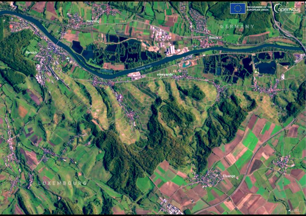
Satellite image: The Moselle wine-growing region, Germany and Luxembourg
The Moselle River, Germany and Luxembourg. Credit: European Union, Copernicus Sentinel-2 imagery

On the Luxembourg side, terraced vineyards dominate the rolling hills, producing renowned wines such as Riesling, Pinot Gris, and Auxerrois. The soil, rich in limestone and clay, also contributes to the production of Crémant, a sparkling wine highly regarded in the region. Winemakers here blend centuries-old traditions with modern techniques to maintain the area’s reputation for high-quality viticulture.

The Copernicus Sentinel satellites assist in monitoring crop conditions, land use, and yield forecasts, supporting sustainable wine production and agriculture worldwide.

Featured image credit: European Union, Copernicus Sentinel-2 imagery

Climate Change Alters the Hidden Microbial Food Web in Peatlands: Why It MattersClimateNews

Climate Change Alters the Hidden Microbial Food Web in Peatlands: Why It Matters

Peatlands, often overlooked for their muddy and unassuming appearance, have been revealed as potent guardians against climate change. These vast expanses, covering only 3% of…
SourceSourceMarch 15, 2024 Full article
Image: White Concrete Building Under Blue Sky (Cuba)
Cuban leader warns against unrest over nationwide blackoutNews

Cuban leader warns against unrest over nationwide blackout

By Rigoberto DIAZ | AFP Havana, Cuba - Cuban President Miguel Diaz-Canel warned Sunday that his government would not tolerate public disturbances during the nationwide…
SourceSourceOctober 21, 2024 Full article
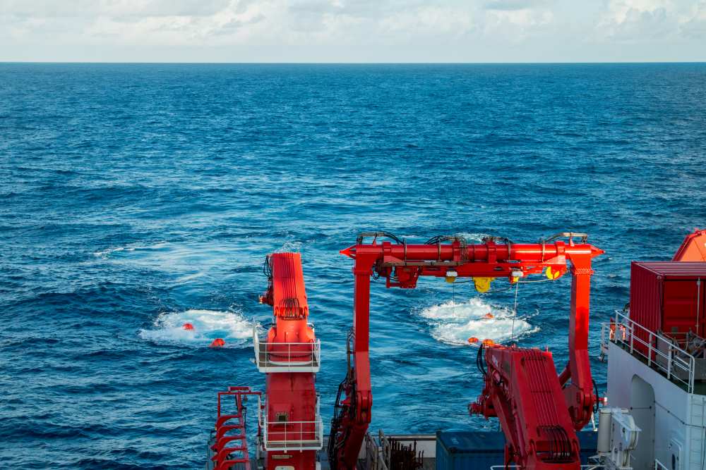
Image: The airgun bundles towed behind the SONNE generate short, strong sound pulses that penetrate the sea floor and are reflected by geological layers. Seismometers on the sea floor record these signals in order to analyze the structure of the subsurface
New data for risk assessment of submarine landslidesNews

New data for risk assessment of submarine landslides

Kiel | GEOMARExploring active and passive continental slopesComprehensive Survey and Drilling Programme How dangerous are submarine landslides in deep-sea canyons? To answer this question, the…
SourceSourceFebruary 20, 2025 Full article