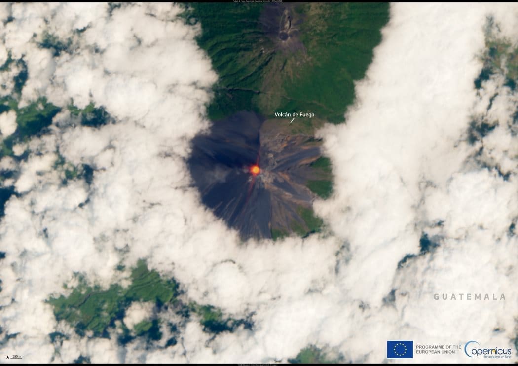
On 9 March 2025, Guatemala’s Fuego Volcano erupted, forcing the evacuation of over 300 people and prompting an orange alert from the National Coordinator for Disaster Reduction (CONRED). The eruption, which lasted until the following day, led to school closures and the shutdown of a key road in the region.

Located 53 km from Guatemala City, Fuego is one of Central America’s most active volcanoes. At 3,763 meters high, it has a history of deadly eruptions, including one in 2018 that claimed nearly 200 lives. Experts warn that the greatest threat from Fuego is not just eruptions but lahars — fast-moving flows of ash, mud, and debris capable of burying entire communities.
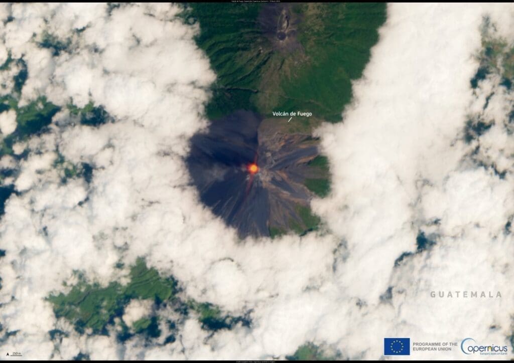
Satellite Image: Eruption of the Fuego Volcano, Guatemala
Fuego Volcano, Guatemala. Credit: European Union, Copernicus Sentinel-2 imagery

This image, captured on 9 March 2025 by a Copernicus Sentinel-2 satellite, shows the thermal anomaly detected at Fuego’s summit. Sentinel-2 provides vital data on volcanic activity, helping authorities monitor eruptions and assess risks to nearby communities.

Featured image credit: European Union, Copernicus Sentinel-2 imagery

Nordergründe offshore wind farm in the North Sea, Germany (s renewable energy)
Image of the day: Germany’s renewable energy revolutionNews

Image of the day: Germany’s renewable energy revolution

In a historic achievement for Germany, renewable energy sources made up 59% of the country’s electricity generation in 2024, marking a steady rise from 56%…
Muser NewsDeskMuser NewsDeskJanuary 26, 2025 Full article
Satellite Image: Serra da Estrela Natural Park, Portugal
Image of the day: Serra da Estrela, where Portugal touches the skyNews

Image of the day: Serra da Estrela, where Portugal touches the sky

Stretching across more than 101,000 hectares, the Serra da Estrela Natural Park stands as the largest natural conservation area in Portugal. Nestled within the Serra…
Muser NewsDeskMuser NewsDeskApril 27, 2025 Full article
Satellite image: Denmark
Image of the day: Protecting biodiversity in Gribskov, DenmarkNews

Image of the day: Protecting biodiversity in Gribskov, Denmark

This satellite image, captured on 2 October 2024 by the Copernicus Sentinel-2 satellites, shows Gribskov, Denmark's fourth-largest forest, and the nearby Lake Esrum. Covering more…
Muser NewsDeskMuser NewsDeskDecember 4, 2024 Full article