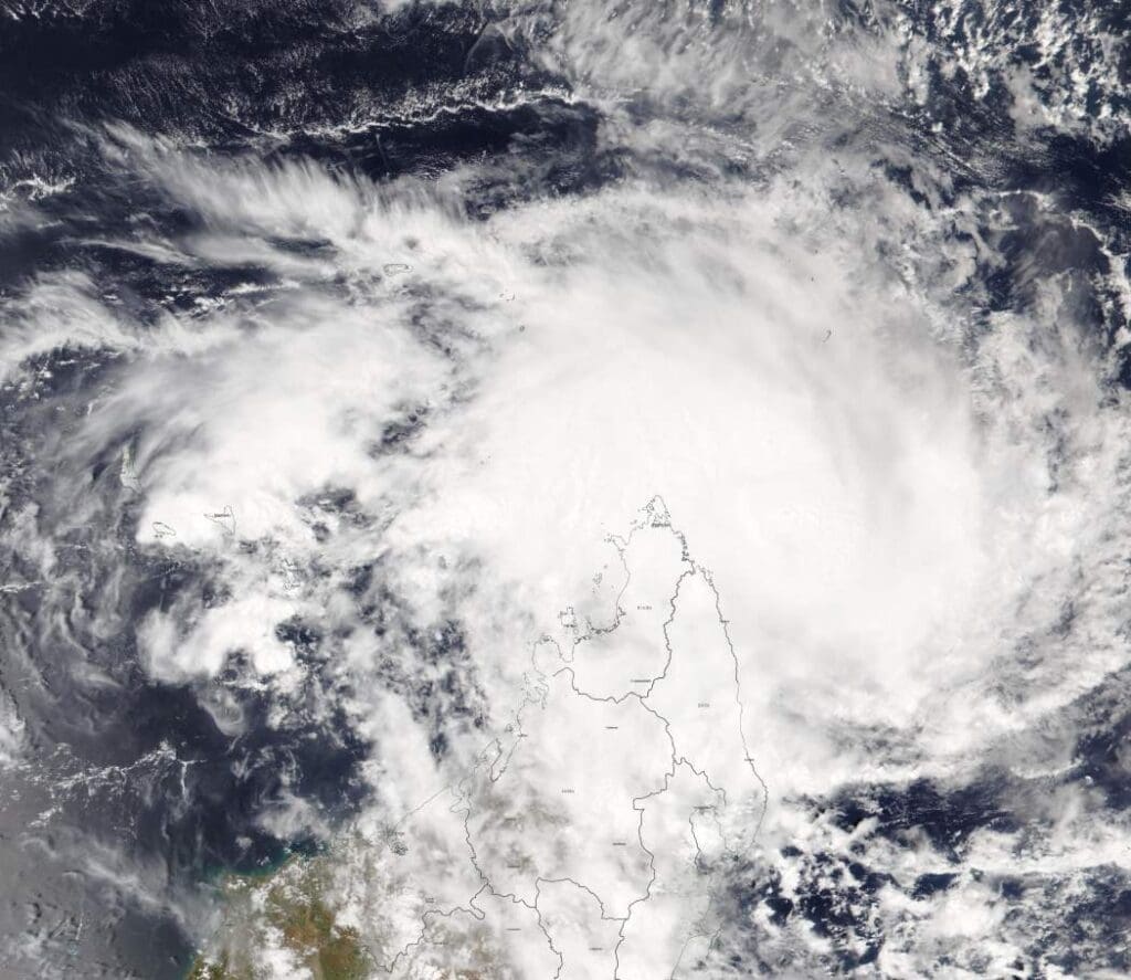
Relentless rainfall on 14 March 2025 caused widespread flooding and landslides across northern and central Italy, with Emilia-Romagna and Tuscany among the hardest-hit regions. Rising waters forced evacuations, disrupted transportation, and led to school closures, while emergency crews worked to rescue stranded residents.

In response to the unfolding crisis, Italian authorities activated the Copernicus Emergency Management Service (CEMS) to provide emergency mapping of the flood extent and assess the damage. Using satellite data, CEMS produced visualisations that highlight the affected areas, with this image showing the extent of the flooding as of 17 March.
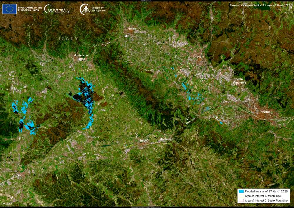
Satellite image: Central Italy (s. flood, landslide)
Central Italy. Credit: European Union, Copernicus Emergency Management Service Data

Open data from Copernicus Services and Sentinel satellites play a critical role in tracking severe weather events, helping authorities coordinate relief efforts and plan recovery measures. By providing accurate flood mapping, these satellite observations support emergency response teams working to protect communities in the wake of natural disasters.

Featured image credit: European Union, Copernicus Emergency Management Service Data
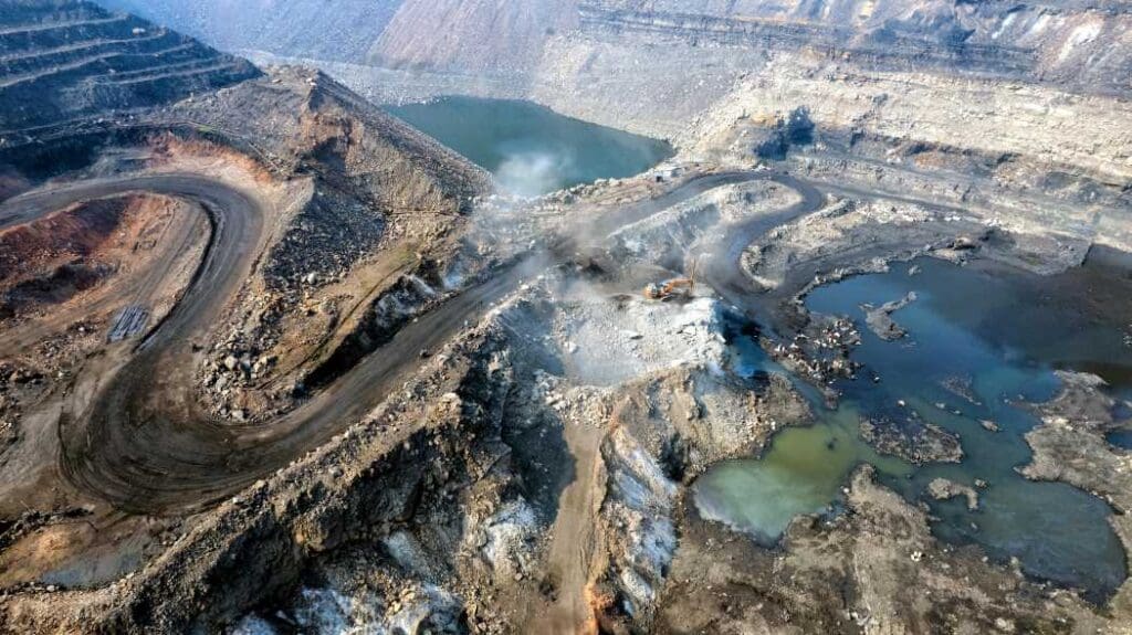
Satellite Image: The Ouarkziz crater, Algeria
Image of the day: Ouarkziz crater, a window into Earth’s pastNews

Image of the day: Ouarkziz crater, a window into Earth’s past

The Ouarkziz crater in western Algeria is a striking remnant of an ancient meteorite impact. Formed roughly 70 million years ago, this well-preserved structure spans…
Muser NewsDeskMuser NewsDeskApril 3, 2025 Full article
Image: Boat Near Hubbard Glacier in Alaska, USA
Scientists unite to save the Earth’s glaciersNews

Scientists unite to save the Earth’s glaciers

Glacial ice stores 70% of Earth’s freshwater, underpinning the food and water security of billions of people. But ice is at the frontline of the…
SourceSourceMarch 19, 2025 Full article
Image: Flat lay of chocolate chunks on plate with cocoa beans and powder and copy
NGO links major chocolate brands to Liberia deforestationNews

NGO links major chocolate brands to Liberia deforestation

Monrovia, Liberia | AFP Some of the world's best-known chocolate, from Mars to KitKat, is likely linked to deforestation in Liberia's rainforest despite many brands' claims…
SourceSourceNovember 25, 2025 Full article