Summary:
A new global climate modeling effort has achieved a major advance in regional climate prediction by simulating Earth’s future at an unprecedented resolution of just 9 kilometers. Published in Earth System Dynamics, the study presents climate projections under high greenhouse gas emissions scenarios using the AWI-CM3 Earth system model, developed by researchers at the IBS Center for Climate Physics (ICCP) in South Korea and the Alfred Wegener Institute (AWI) in Germany. Simulations span atmospheric and ocean scales of 9 km and 4–25 km respectively, delivering detailed projections for the 2000s through 2090s.
This storm-resolving model reveals major regional differences in climate response, including intensified warming in the Arctic and high mountain ranges and sharp contrasts in future rainfall. The high resolution captures small-scale features such as tropical cyclones, coastal dynamics, and rainfall variability in mountainous regions, offering much finer detail than the coarser models commonly used by the IPCC.
The results indicate that global warming impacts will be highly uneven – with some areas warming far faster than the global average. An interactive data platform now allows users to explore and download these high-resolution maps, providing critical insights for infrastructure planning, disaster preparedness, and energy development in a changing climate.

Earth’s future climate at 9 km worldwide resolution
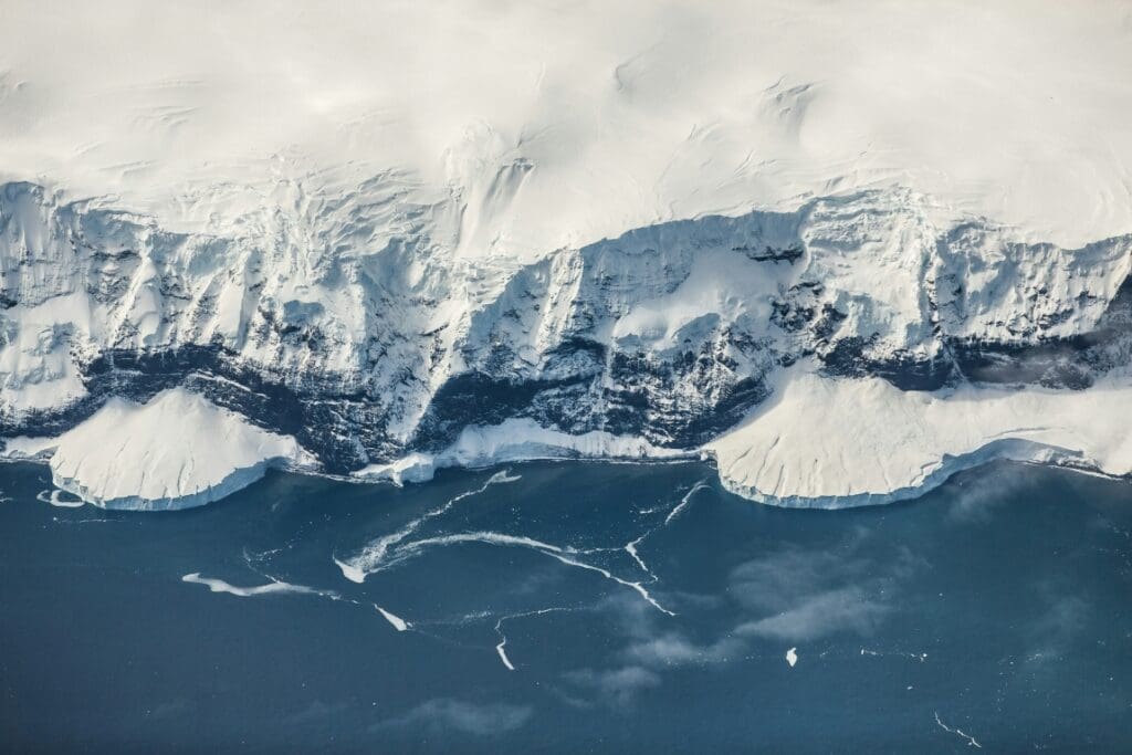
Global Warming does not affect our planet evenly. Some areas such as the Arctic region or high mountain peaks warm faster than the global average, whereas others, including large parts of the tropical oceans, show reduced temperature trends compared to the mean. The heterogeneity of future rainfall patterns is even more pronounced. To adapt to future climate change, policymakers and stakeholders need detailed regional climate information, often on scales much smaller than the typical resolution (~100-200 km) of climate models used in the reports of the Intergovernmental Panel on Climate Change (IPCC).
A team of scientists from the IBS Center for Climate Physics (ICCP), Pusan National University in South Korea and the Alfred Wegener Institute, Helmholtz Centre for Polar and Marine Research (AWI), Bremerhaven, Germany has achieved an important breakthrough in climate modeling, providing unprecedented insights into Earth’s future climate and its variability.
Utilizing the AWI-CM3 earth system model, a novel iterative global modeling protocol, and two of South Korea’s fastest supercomputers (Aleph at the Institute for Basic Science and Guru at the Korea Meteorological Administration), the researchers have simulated climate change at scales of 9 km in the atmosphere and 4-25 km in the ocean. These extensive computer model simulations offer a more accurate representation of future climate conditions, enabling better planning for climate adaptation.

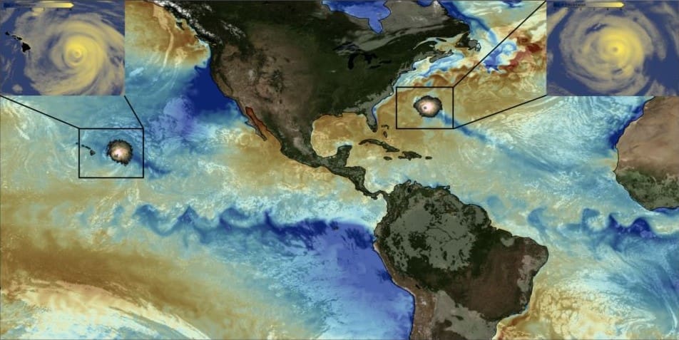
The AWI-CM3 high-resolution model accurately represents global climate, including small-scale phenomena, such as rainfall in mountainous regions, coastal and island climate processes, hurricanes and ocean turbulence (Fig. 1). By resolving more regional details and their interactions with the large-scale atmosphere and ocean circulations, the model demonstrates a superior performance compared to most lower-resolution climate models.
A main product of the simulations is a set of detailed global maps of expected climate change (e.g., temperature, rainfall, winds, ocean currents, etc.) for an anticipated 1°C future global warming.
“It is important to keep in mind that Global Warming is spatially quite heterogenous. For a 1°C global temperature increase, the Siberian and Canadian Arctic will warm by about 2°C, whereas the Arctic Ocean will experience warming of up to 5oC. In high mountain regions, such as the Himalayas, the Andes and the Hindu Kush, the model simulates a 45-60% acceleration relative to the global mean,” says Moon Ja-Yeon from the ICCP, and lead author of the study.
To ensure broad access to these high-resolution climate projections, the team has launched an interactive data platform, where users can explore future climate change on regional and global scales. Normalized climate change data for a 1°C Global Warming level can be downloaded and opened directly in the Google Earth application. These data can provide information on expected future changes in climate variables, such as windspeed and clouds, which are relevant for the future deployment of wind or solar farms, respectively.
“Our study also highlights the regional impacts of major modes of climate variability, such as the Madden Julian Oscillation, the North Atlantic Oscillation, and the El Niño-Southern Oscillation, as well as their response to greenhouse warming,” says Prof. Thomas Jung from the AWI and co-corresponding author of the study. According to the AWI-CM3 simulations, the amplitude of both, the Madden Julian Oscillation and of the alternating El Niño and La Niña events will increase in the future, which will lead to intensified rainfall impacts in affected regions.
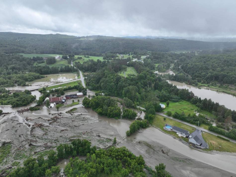
The simulations further indicate an increase in the frequency and intensity of extreme rainfall events (>50 mm/day) in areas such as eastern Asia, the Himalayas, the Andes, Amazonia, mountain-tops in Africa and the east coast of North America with significant implications for flooding, erosion, and landslides.
“Most global climate models used in the assessment reports of the IPCC are too coarse to resolve small islands, such as those in the western tropical Pacific. These islands are already threatened by global sea level rise. Our new climate model simulations now provide new regional insights into what these regions can expect in terms of changes in ocean currents, temperatures, rainfall patterns and weather extremes. We hope that our dataset will be used extensively by planners, policy- and decision-makers and the public,” says Prof. Axel Timmermann, Director of the ICCP and co-corresponding author of the study.
The study’s findings offer critical information for assessing climate risks and implementing adaptation measures on regional scales.
Journal Reference:
Moon, J.-Y., Streffing, J., Lee, S.-S., Semmler, T., Andrés-Martínez, M., Chen, J., Cho, E.-B., Chu, J.-E., Franzke, C. L. E., Gärtner, J. P., Ghosh, R., Hegewald, J., Hong, S., Kim, D.-W., Koldunov, N., Lee, J.-Y., Lin, Z., Liu, C., Loza, S. N., Park, W., Roh, W., Sein, D. V., Sharma, S., Sidorenko, D., Son, J.-H., Stuecker, M. F., Wang, Q., Yi, G., Zapponini, M., Jung, T., and Timmermann, A., ‘Earth’s future climate and its variability simulated at 9 km global resolution’, Earth System Dynamics 16, 1103–1134 (2025). DOI: 10.5194/esd-16-1103-2025
Article Source:
Press Release/Material by Institute for Basic Science
Featured image credit: Institute for Basic Science