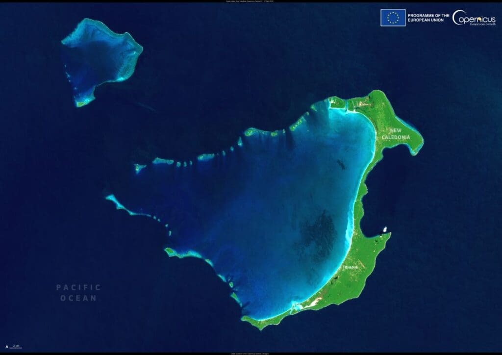
Georgetown, capital of Guyana, sits on South America’s northern coast, where the Demerara River meets the Atlantic Ocean. Once a Dutch settlement and later the seat of British colonial rule, Georgetown retains traces of both heritages in its canals, wooden colonial architecture, and orderly grid layout. It is Guyana’s largest city and the center of its political, economic, and cultural life.
The city is known for its vibrant markets, tree-lined avenues, and historic landmarks, including St. George’s Cathedral, one of the tallest wooden churches in the world, and the ornate City Hall, both symbols of its colonial past. Georgetown is also home to the University of Guyana and several national museums, reinforcing its role as a cultural hub.

Despite its importance, the city faces persistent challenges. Much of Georgetown lies below sea level at high tide, and its flood-prone landscape requires constant maintenance of an intricate network of drainage canals and sea defenses, including an aging Dutch-built seawall. Seasonal rains and rising seas pose increasing risks to homes, businesses, and essential infrastructure.
This Copernicus Sentinel-2 image from 9 January 2025 shows Georgetown’s position between the river and the sea, with green coastal plains stretching inland. The city’s dense layout and surrounding farmland are clearly visible, along with the broad sediment plume from the Demerara River flowing into the Atlantic.
Featured image credit: European Union, Copernicus Sentinel-2 imagery